Largely a driving day, we traversed the magnificent 135 mile long Denali Highway (110 miles of it is unpaved). Traveling west, it climbs steeply up into the foothills of the central Alaska Range. Along its length, the highway passes through three of the principal river drainages in Interior Alaska: the Copper River drainage, the Tanana/Yukon drainage and the Susitna drainage. Along the way there are stunning views of the peaks and glaciers of the central Alaska Range, including Mount Hayes (13,700 ft), Mount Hess (11,940 ft) and Mount Deborah (12,688 ft). The first 45 miles winds through the Amphitheater Mountains, cresting at Maclaren Summit, at 4,086 feet the second highest road in Alaska and the location of the Maclaren Lodge where we paused for delicious home made pies that will not soon be forgotten. The road then drops down to the Maclaren River Valley and crosses the Maclaren River, the road winds through the geologically mysterious Crazy Notch and then along the toe of the Denali Clearwater Mountains to the Susitna River. After crossing the Susitna River the road extends across the glaciers outwash plains to the Nenana River, and then down the Nenana River to Cantwell where we spent the evening at the Bluesberry Inn. Opened the year before I was born in 1957, it was the first road access to Denali National Park. Since 1971, primary park access has been via the Parks Highway, and it is now lightly traveled and a great place to encounter wildlife.
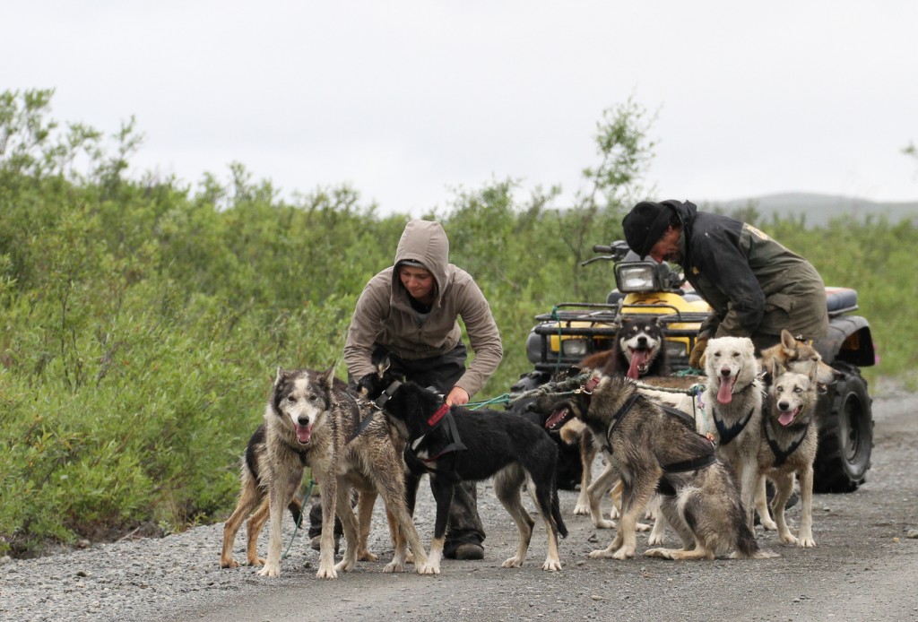
We were only slightly surprised to come across a team of sled dogs towing an ATV, no doubt in training for the Iditorad.
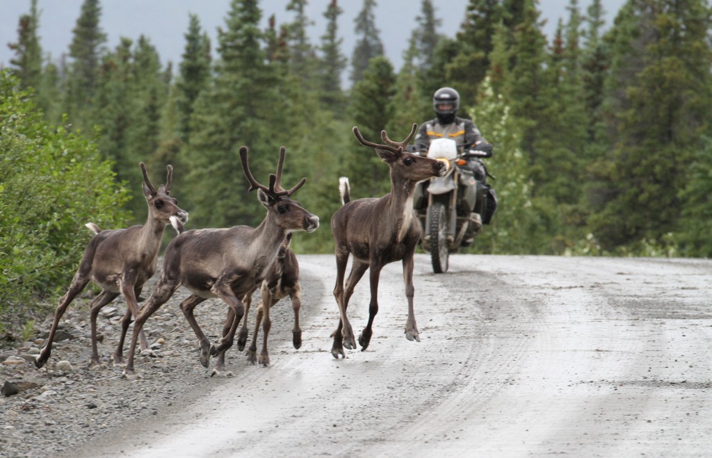
We saw more caribou than cars (and a single motorcycle) as we leisurely traversed this primitive landscape.


