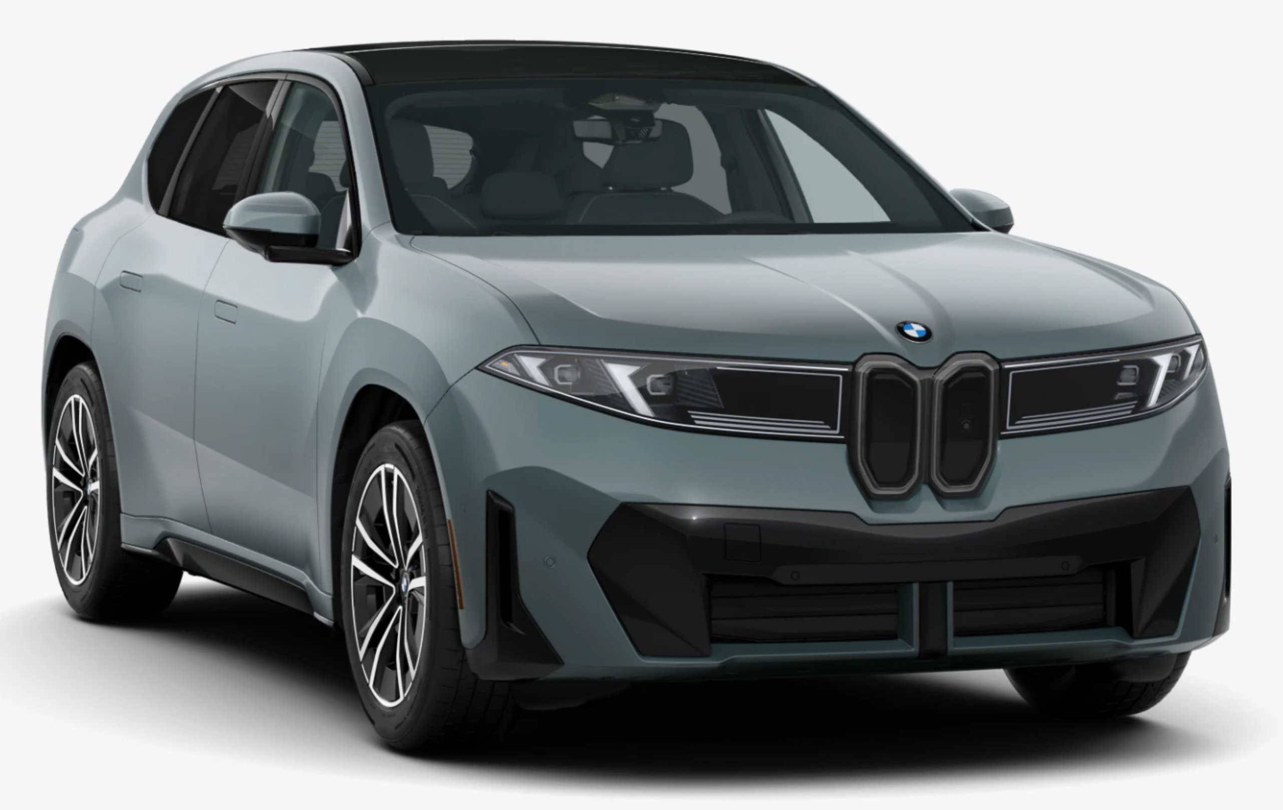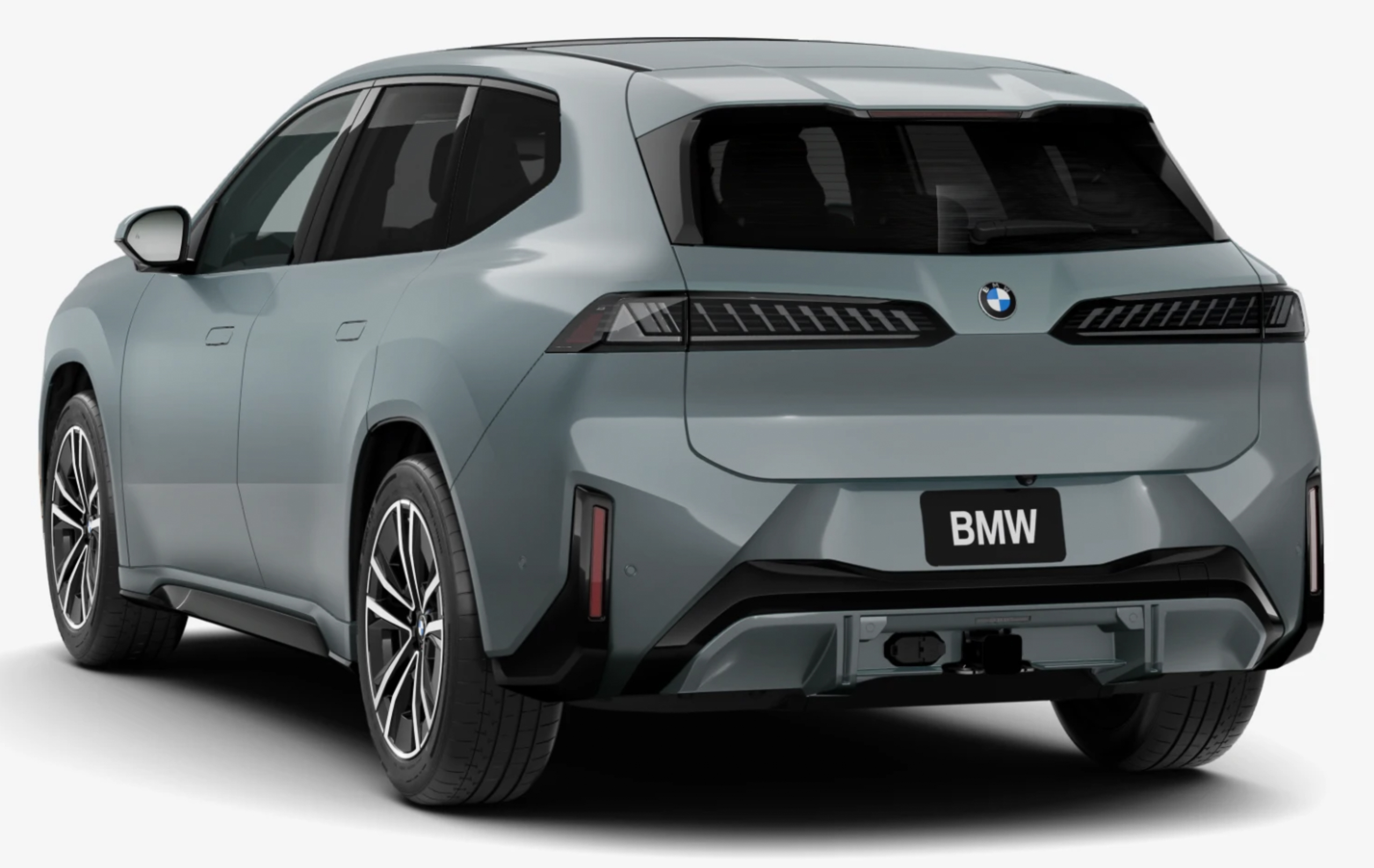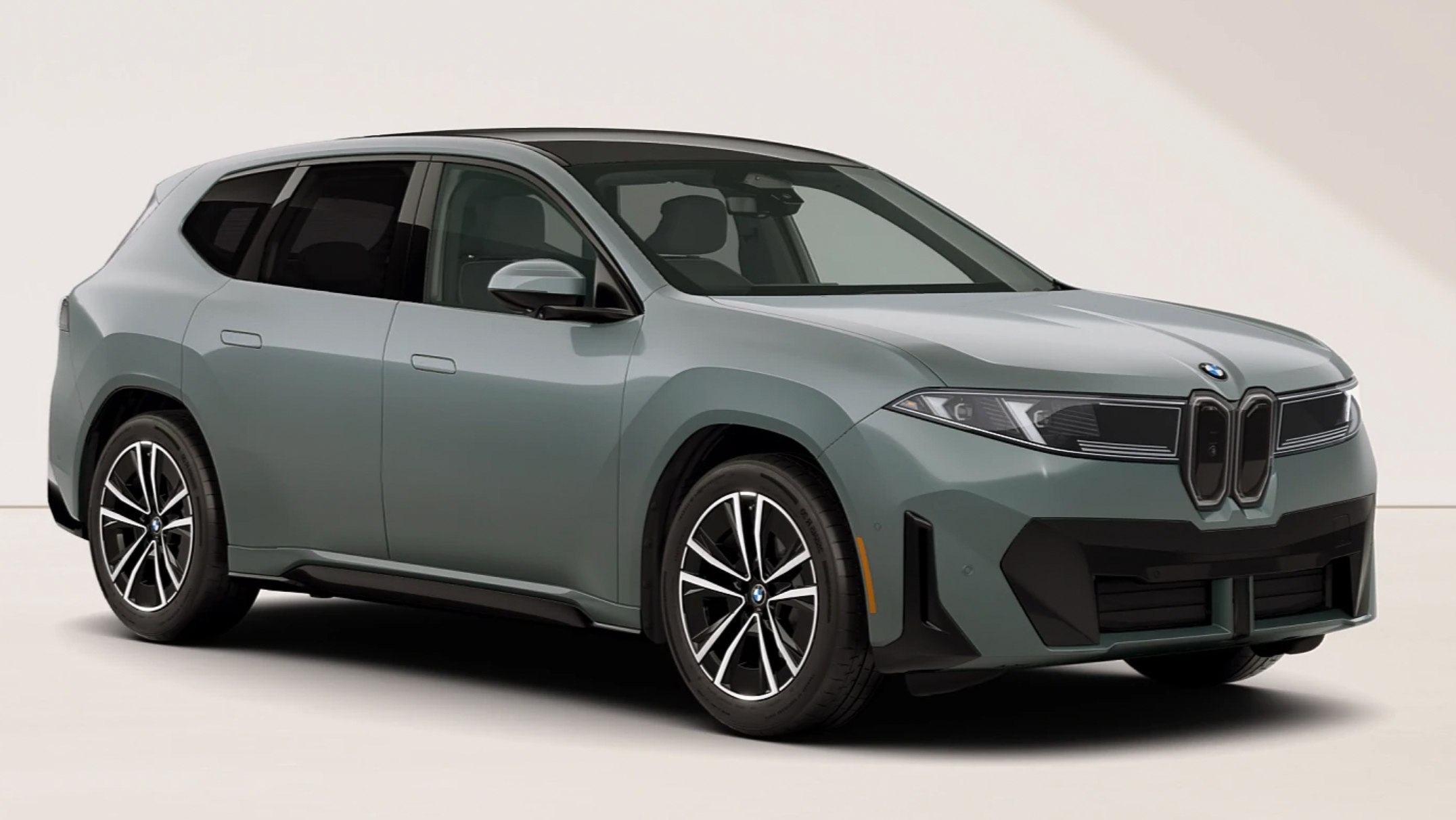
Having just placed an order for a BMW iX3, I have been scouring the web for more information about the car. My goal is to learn every detail of its operation before it arrives early next year. During my search, I came across the German-language video above following the design team’s quest to drive the car over 1,000 kilometers (621 miles) on a single charge. The EPA mileage rating for the car is 400 miles and represents a reasonable real-world estimate based on a combination of city and highway driving across a range of weather conditions. Hypermiling is a driving approach focused on squeezing every last inch of distance out of a full charge. In the BMW challenge, the car was driven on back roads to keep speeds down, the climate control and other power consumers were shut off, and cities were avoided to bypass traffic congestion. A pair of drivers made the trip between Debrecen, Hungary, where the car is built, and a BMW Design Center in Berlin, Germany. They completed the trip in 1007.7 km with 2% remaining charge. If we extrapolate for the remaining 2% and add the additional 50 km of range you get after the car reports 0%, you arrive at a figure of 670 miles. I suspect they could have hit 700 miles if they did not have a passenger in the car.
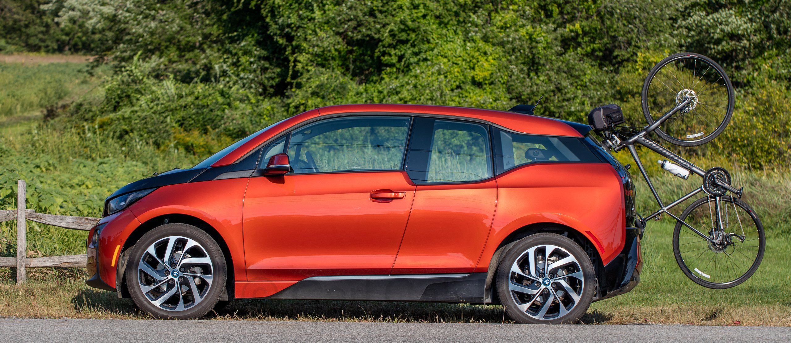
Electric vehicles have come a long way in a very short time. I purchased my first one 12 years ago. In a fitting full circle, it was a BMW i3 with an EPA range of 80 miles, pictured below with a custom bike rack I designed and built.