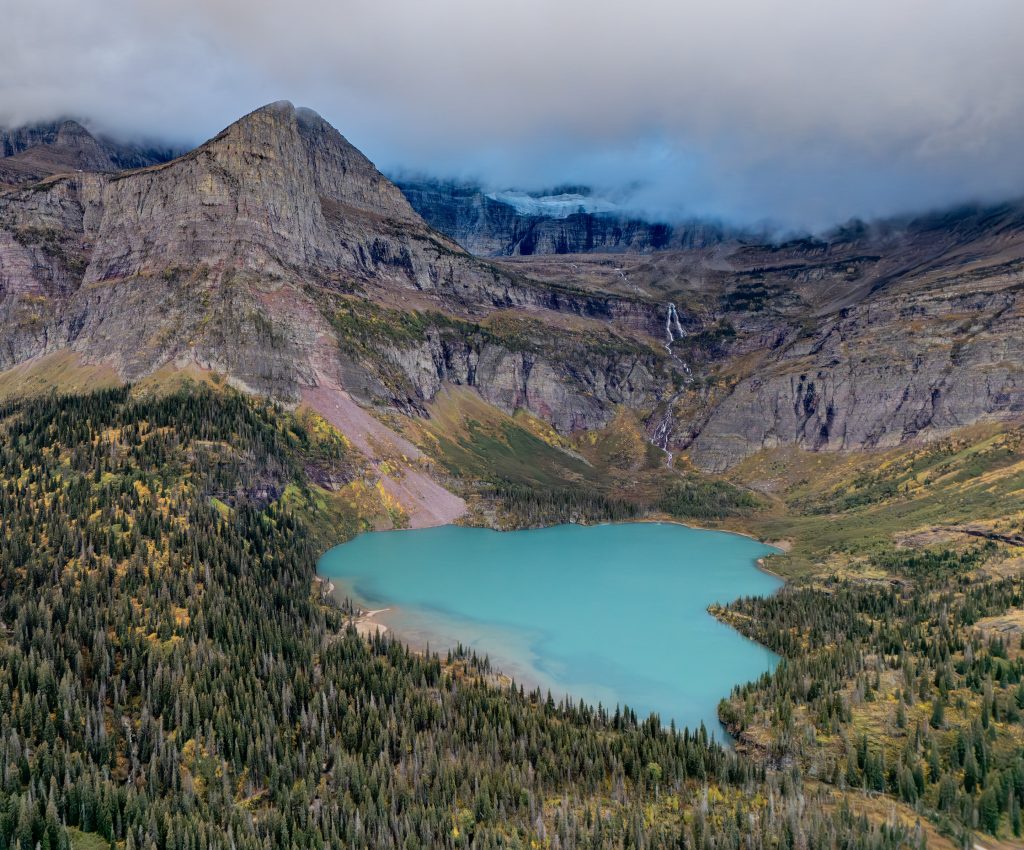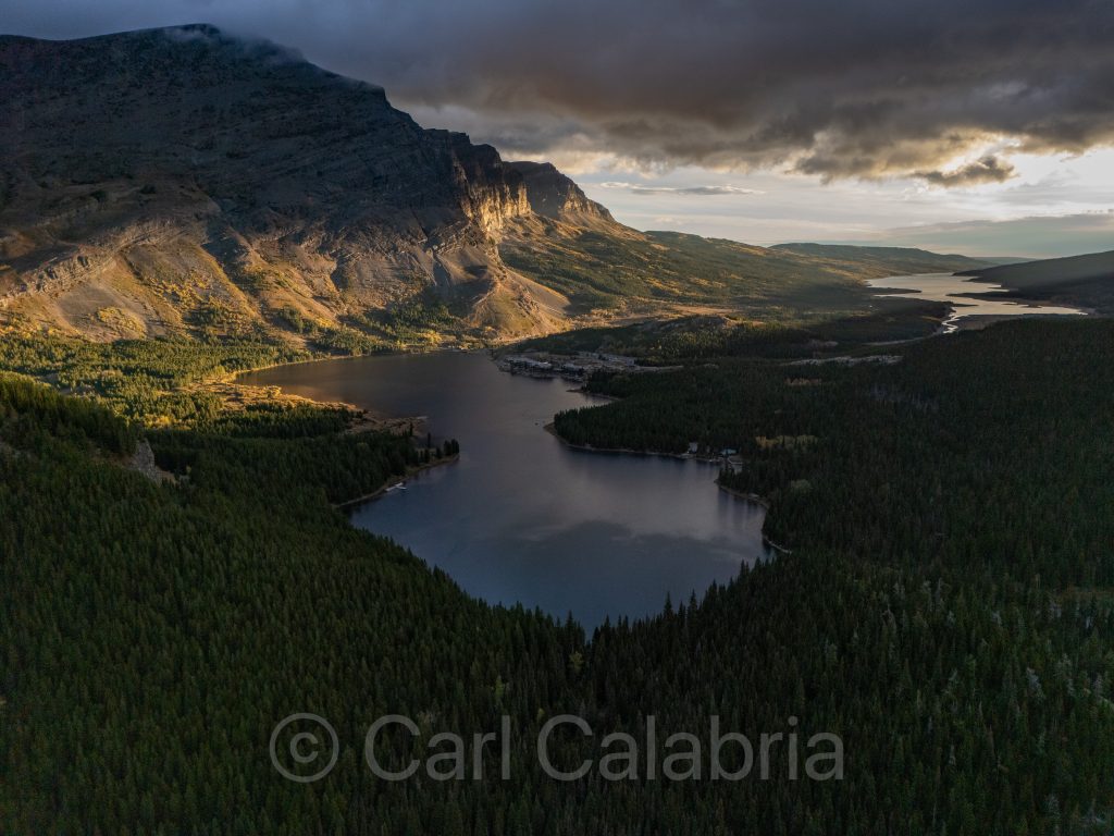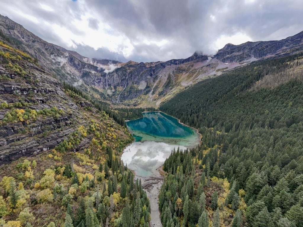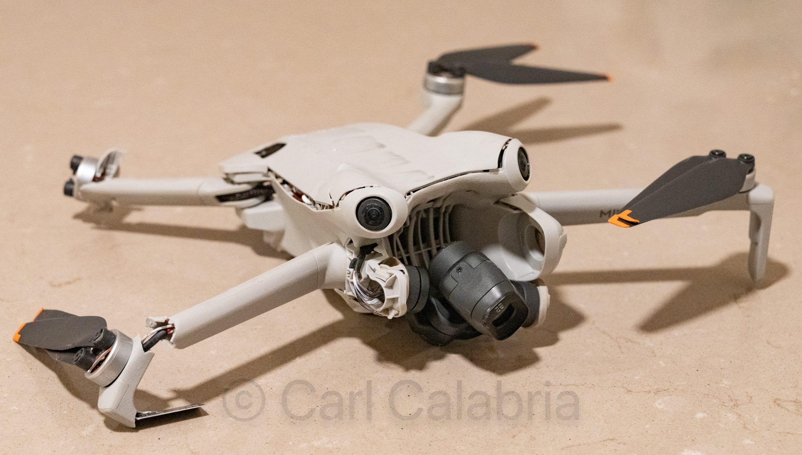
When your drone lands on a highway, there is a good chance things will not end well. Lately, I have gotten lazy, and I allowed my drone to self-navigate back to its home point, which gets established during takeoff. Provided you wait until the drone gets a GPS satellite fix on its location, this results in pinpoint accuracy (within inches). Apparently, during my last flight of the day, I did not allow enough time to get the GPS fix before launching. Rather than landing directly in front of our rental car parked on the side of the highway, it landed a few feet away on the roadway. I watched in horror on my controller’s display as a truck approached and then looked up to watch as my drone was run over. Even the microSD memory card was cracked in half, and I lost all my aerial photos for the day (adding insult to injury). As unhappy as I was about losing my drone and photos, I was even more upset with my decision to let the drone fly back unsupervised. Had it returned a few seconds earlier, it might have collided with the cab of the truck, potentially causing a serious accident. I was both unlucky and lucky today and have learned an important lesson.
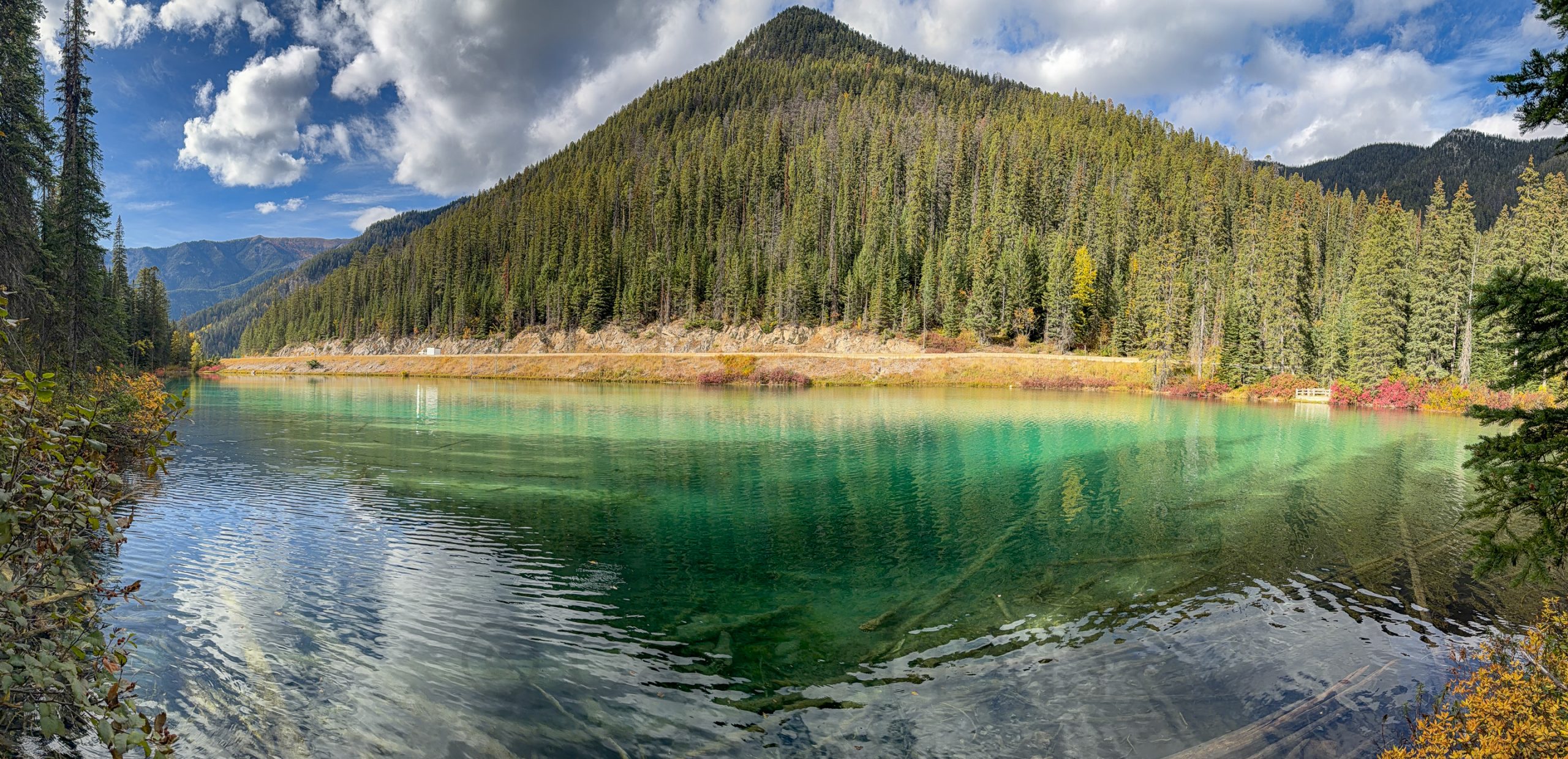
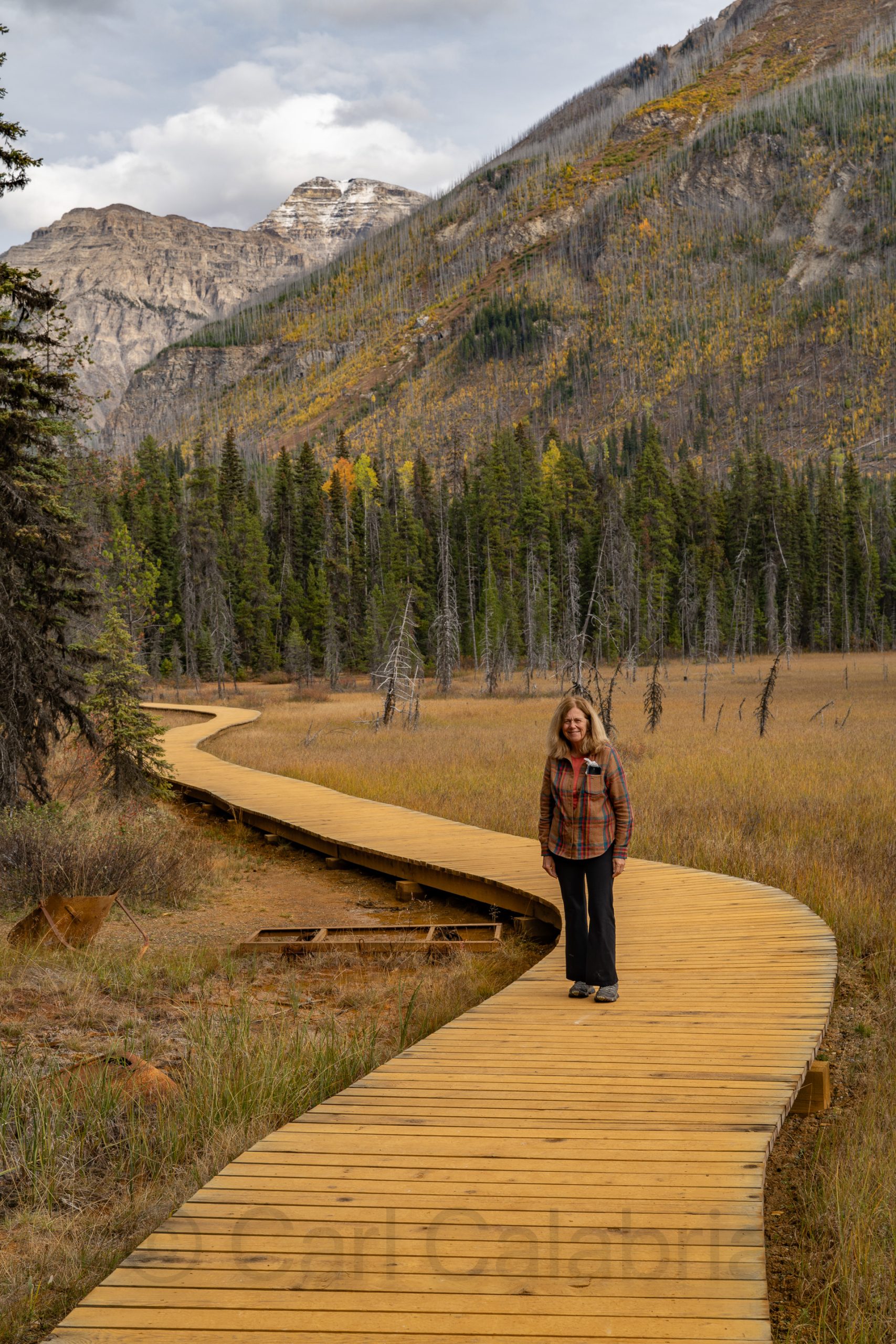
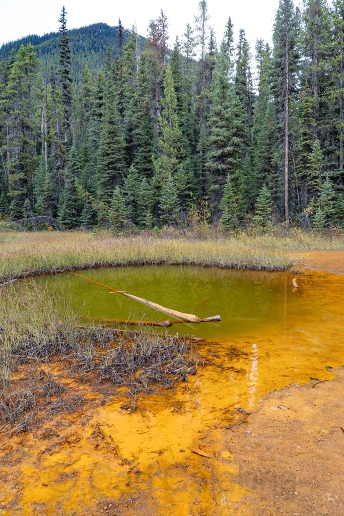
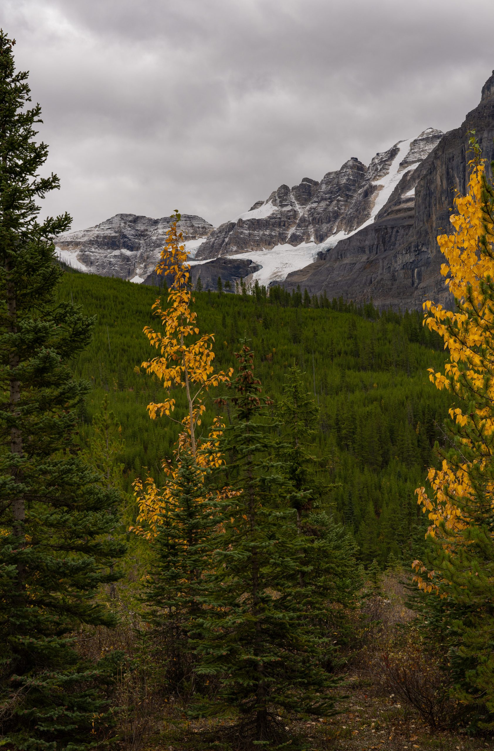
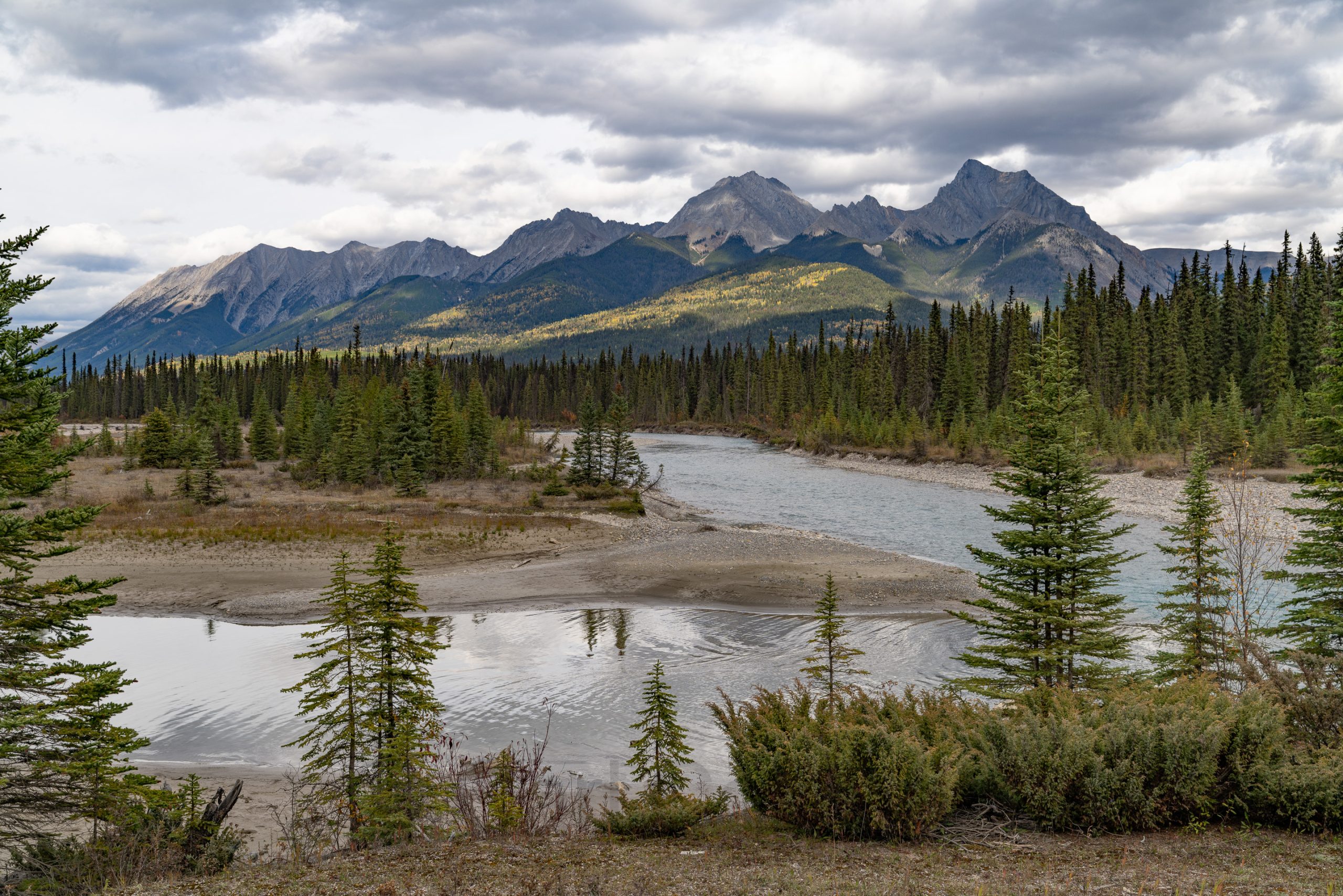
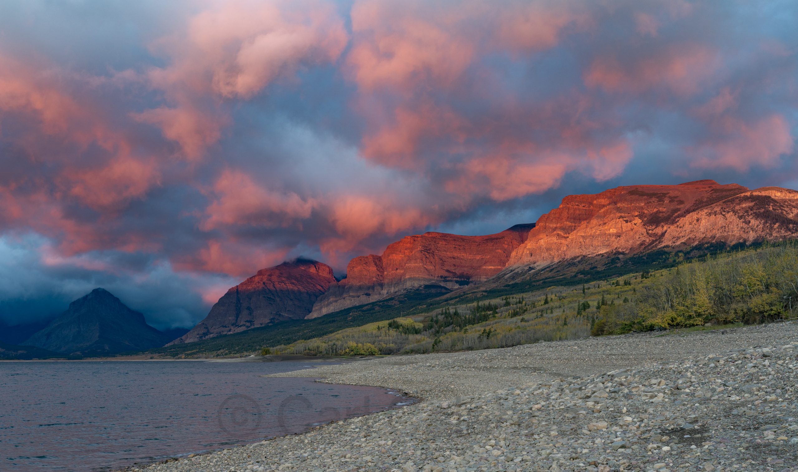
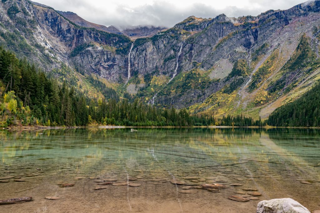
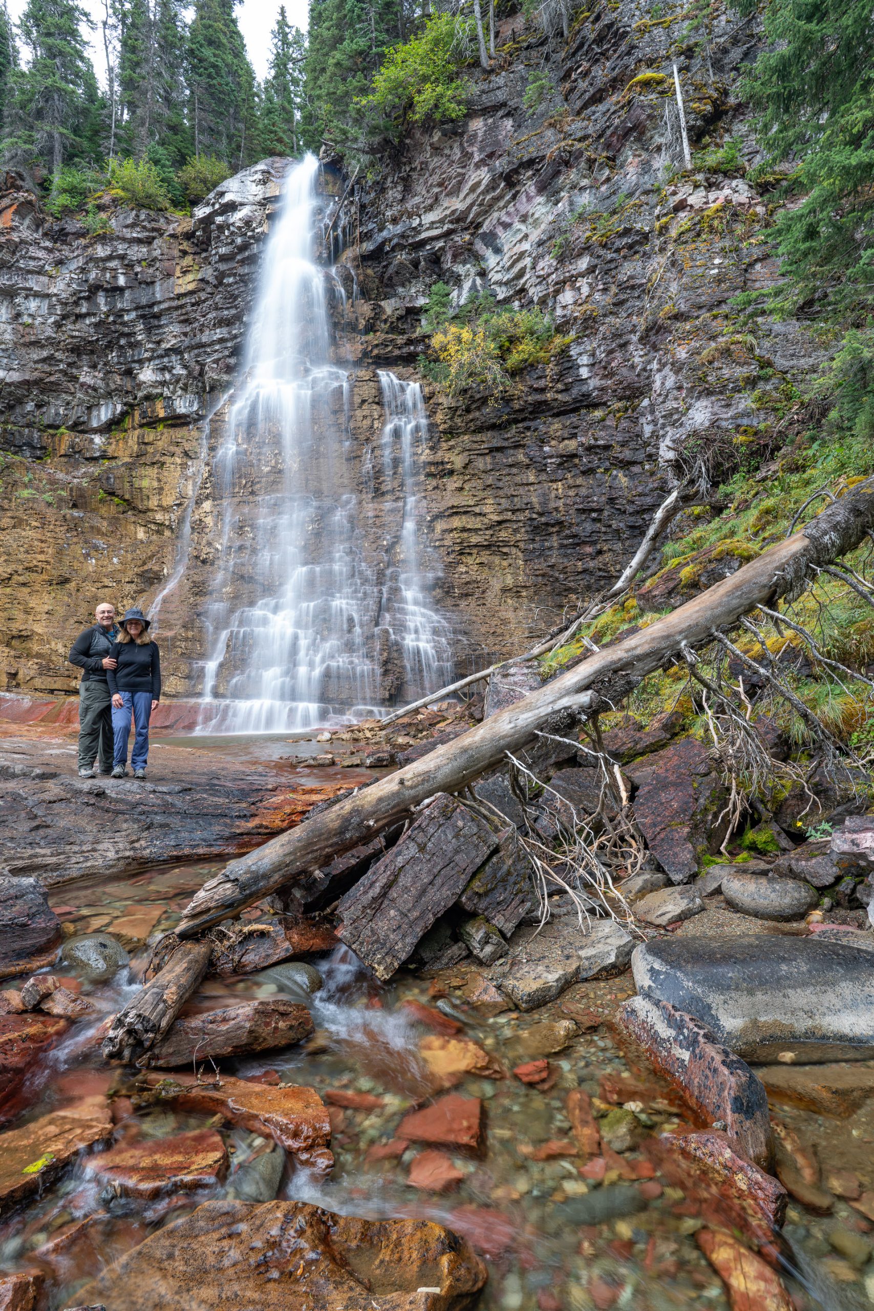
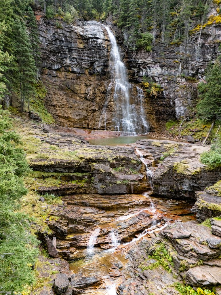
Fortunately, I took several land-based photographs during our 6-hour drive from Whitefish, Montana, to Banff, Alberta by way of the Kootenay National Park. We made several stops, including Olive Lake, the Paint Pots, and the Stanley Glacier viewpoint.