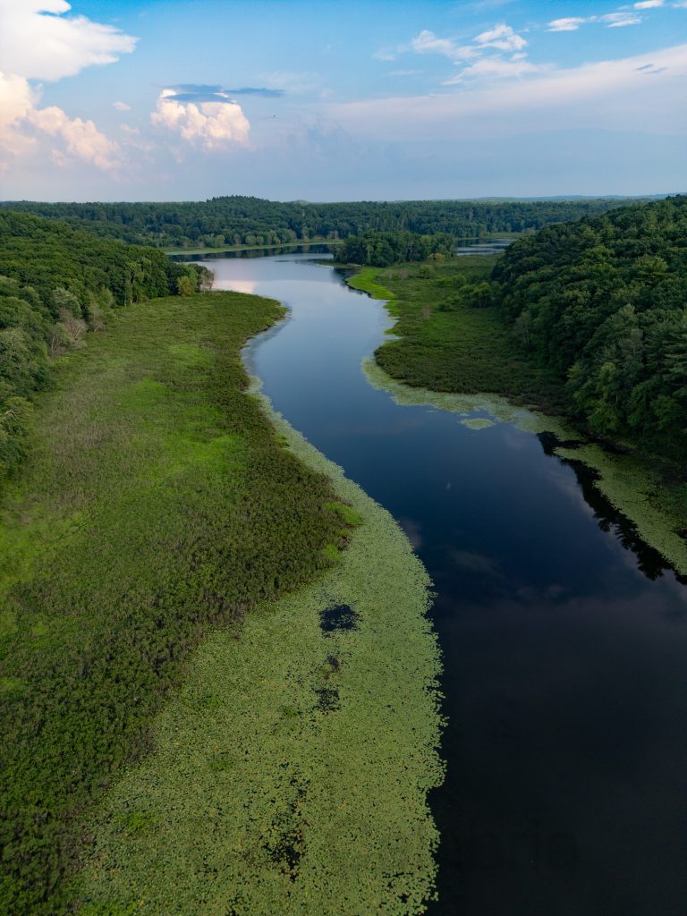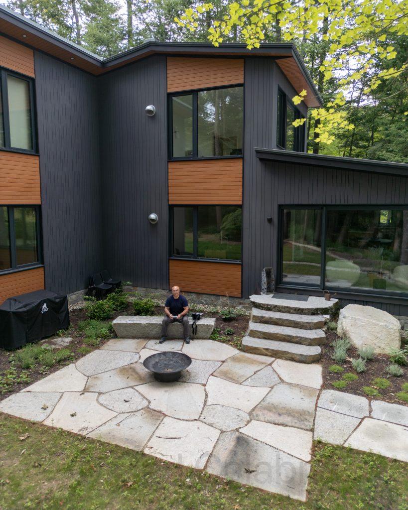
Despite above-average rainfall over the past months, the level of the Sudbury River has returned to a normal level. During parts of the winter, water was present from tree line to tree line. This afternoon, I flew my drone from our patio up to Fairhaven Bay to survey the waterline. Note to self: I think it would be very cool to record my altitude and geolocation so that I can return to this same vantage point for future photos illustrating the changing look of the river through the seasons. I ended the flight with an aerial selfie.

