The reason for our visit to Ireland is to attend the wedding celebration of my nephew, Mario, to Brooke. Most of the guests have now arrived in Galway and will be touring the Aran Island of Inishmore today. Having previously visited there and also in need of some me time, I opted to drive up the Connemara coastline and take the ferry to Inishbofin, an even more remote island off the western coast.
If not for my 11:30 ferry time, I would have spent the entire day in Connemara where there seemed to be something worth photographing at every turn, and there were a lot of turns.


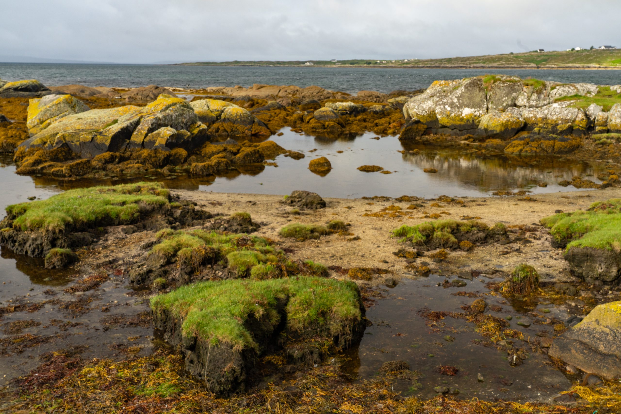
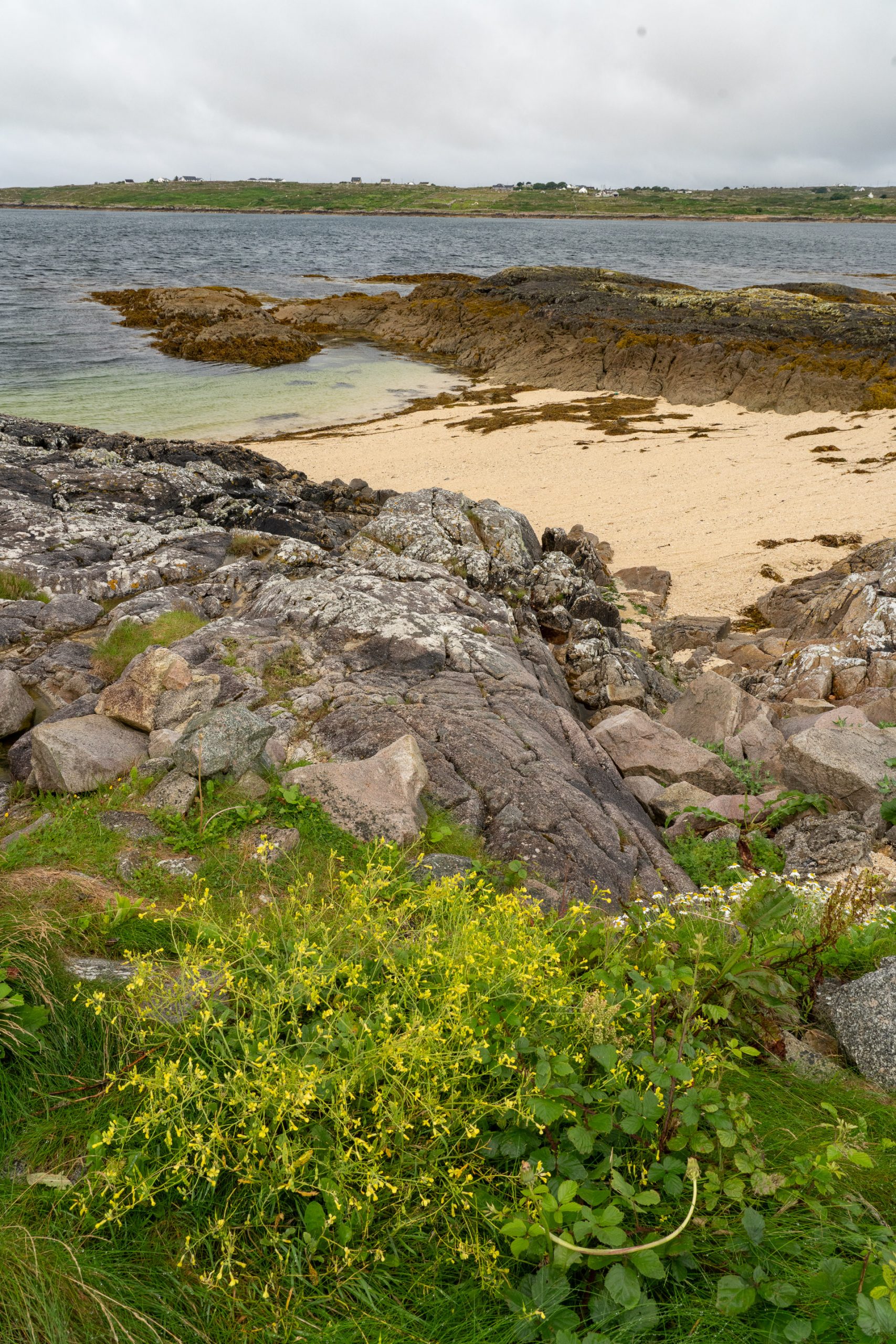
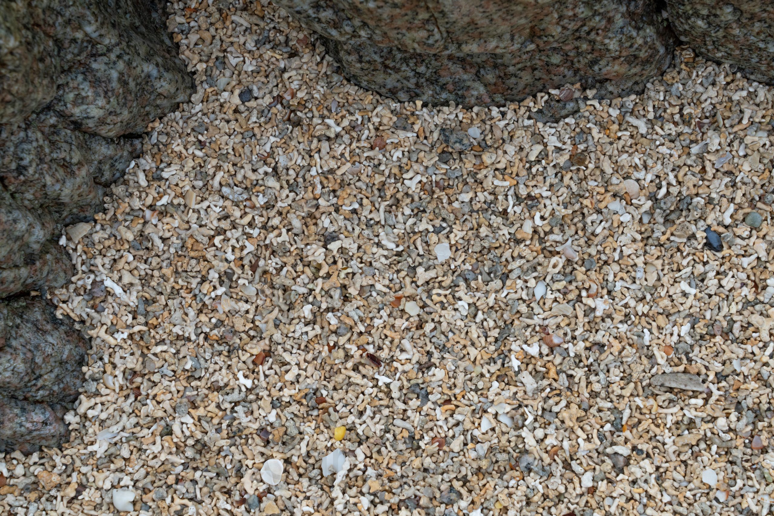
My first real stop was at the Coral Strand, known for its crystal-clear waters and unique sand composed of crushed coraline algae, giving it a distinctive coral-like appearance despite not being true coral. Click on the second photo below for a close-up of the “sand.”
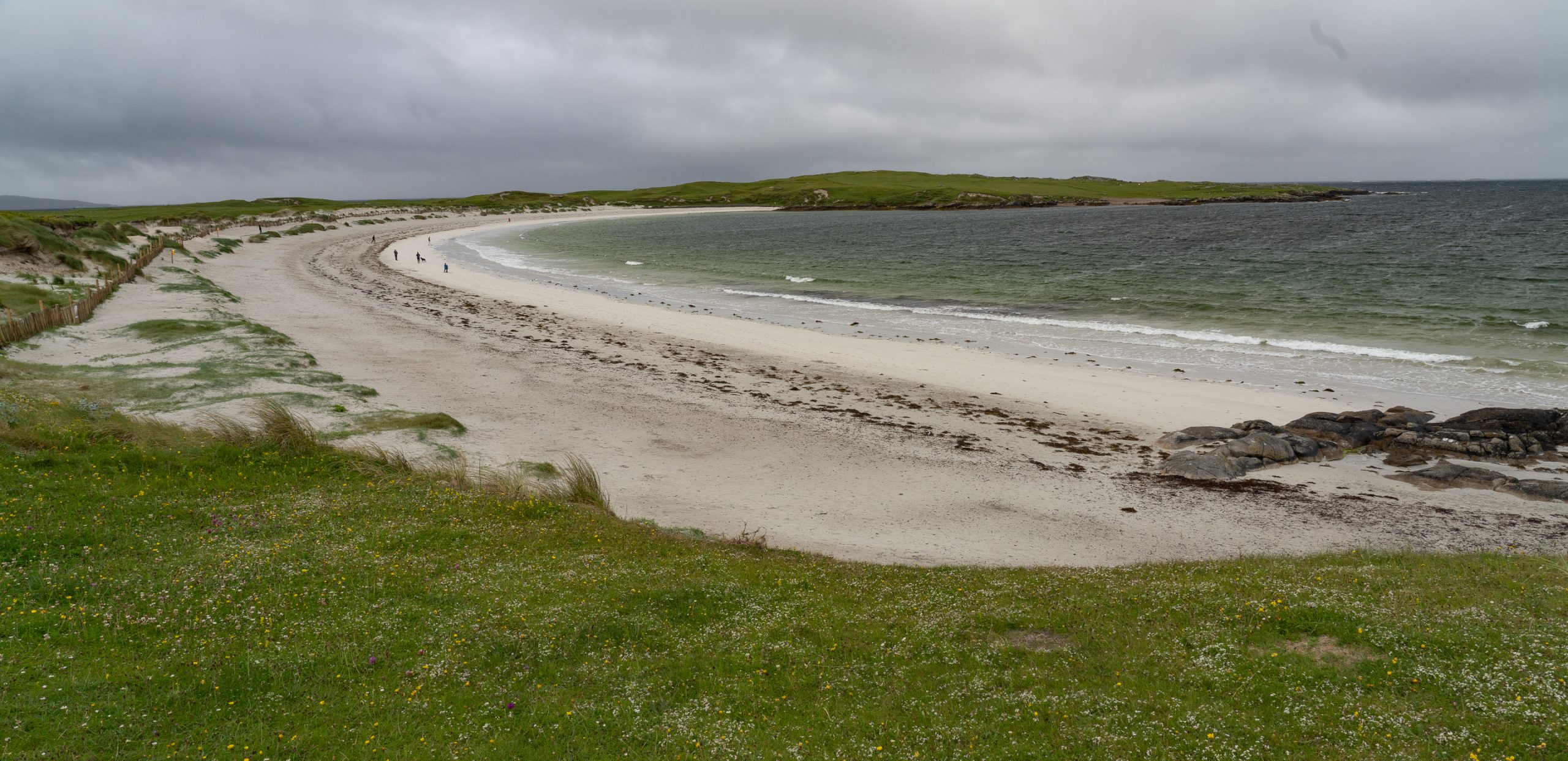
After pausing for breakfast in Roundstone, it was on to Dog’s Bay, a beautiful horseshoe-shaped beach. I had hoped to get an aerial photo similar to the one below (not taken by me), but had to settle for a quick shot from the ground as I was running seriously behind schedule.

I will spare the details of my harrowing drive to catch the ferry to Inishbofin. Suffice it to say that I was the last passenger to board, and the gangway was stowed 30 seconds after I crossed it. For my own future benefit, the Cleggan Ferry does not depart from the Cleggan Cliffs, and it is best not to leave your phone in the car when your ferry tickets are stored on it.
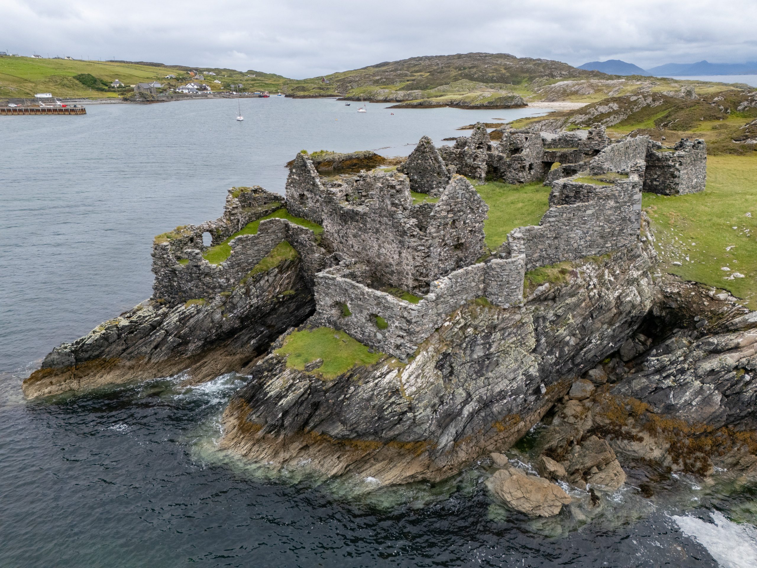
During the Cromwellian conquest of Ireland in the mid-17th century, Inishbofin was the last stronghold of Irish royalist forces. In 1652, it was captured by Cromwell’s troops, who decided to build a new, more formidable fortification to control the harbour and suppress opposition. The result was the star-shaped stone fort—now locally called Cromwell’s Barracks—which still dominates the tidal island today.

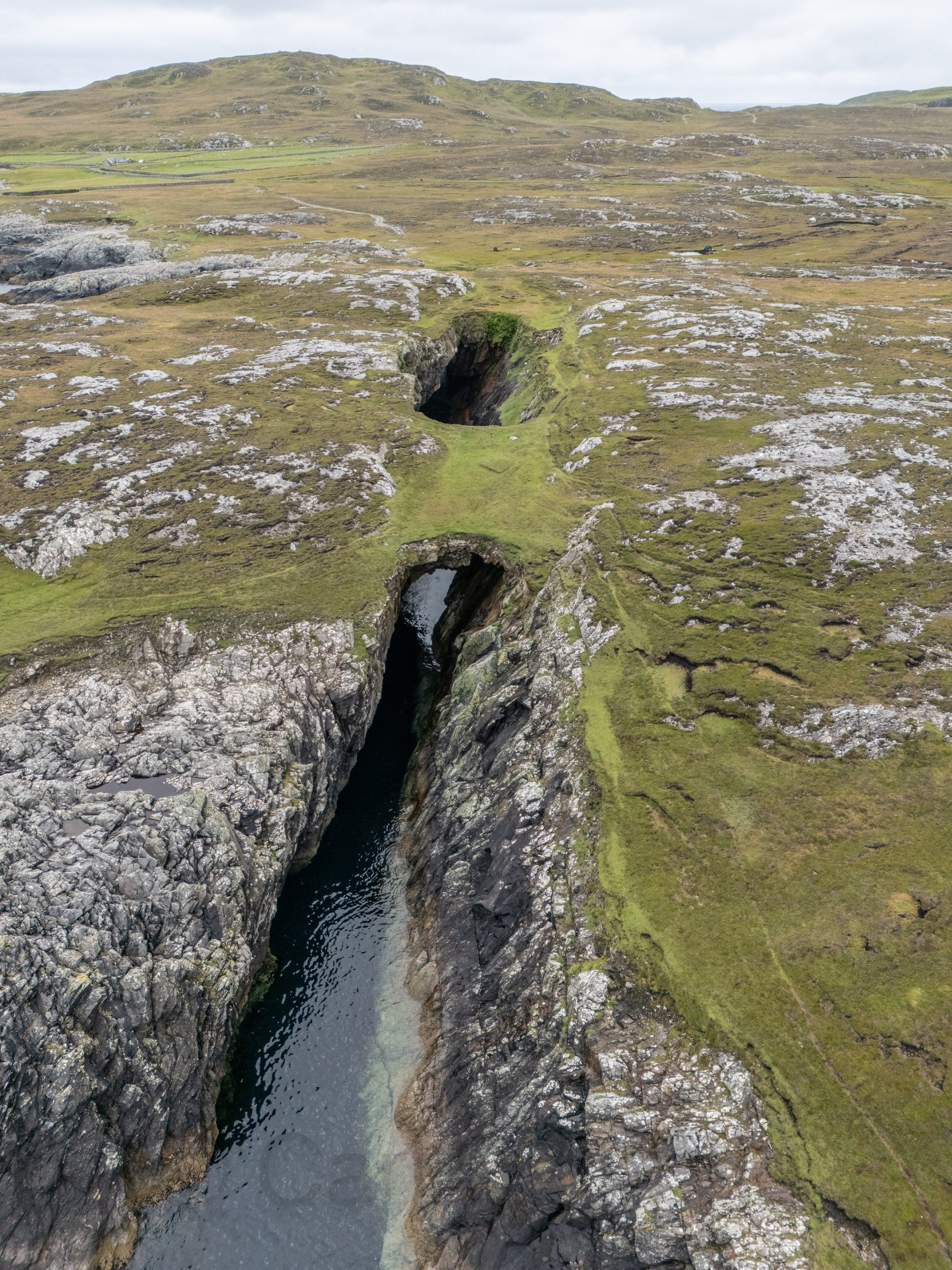
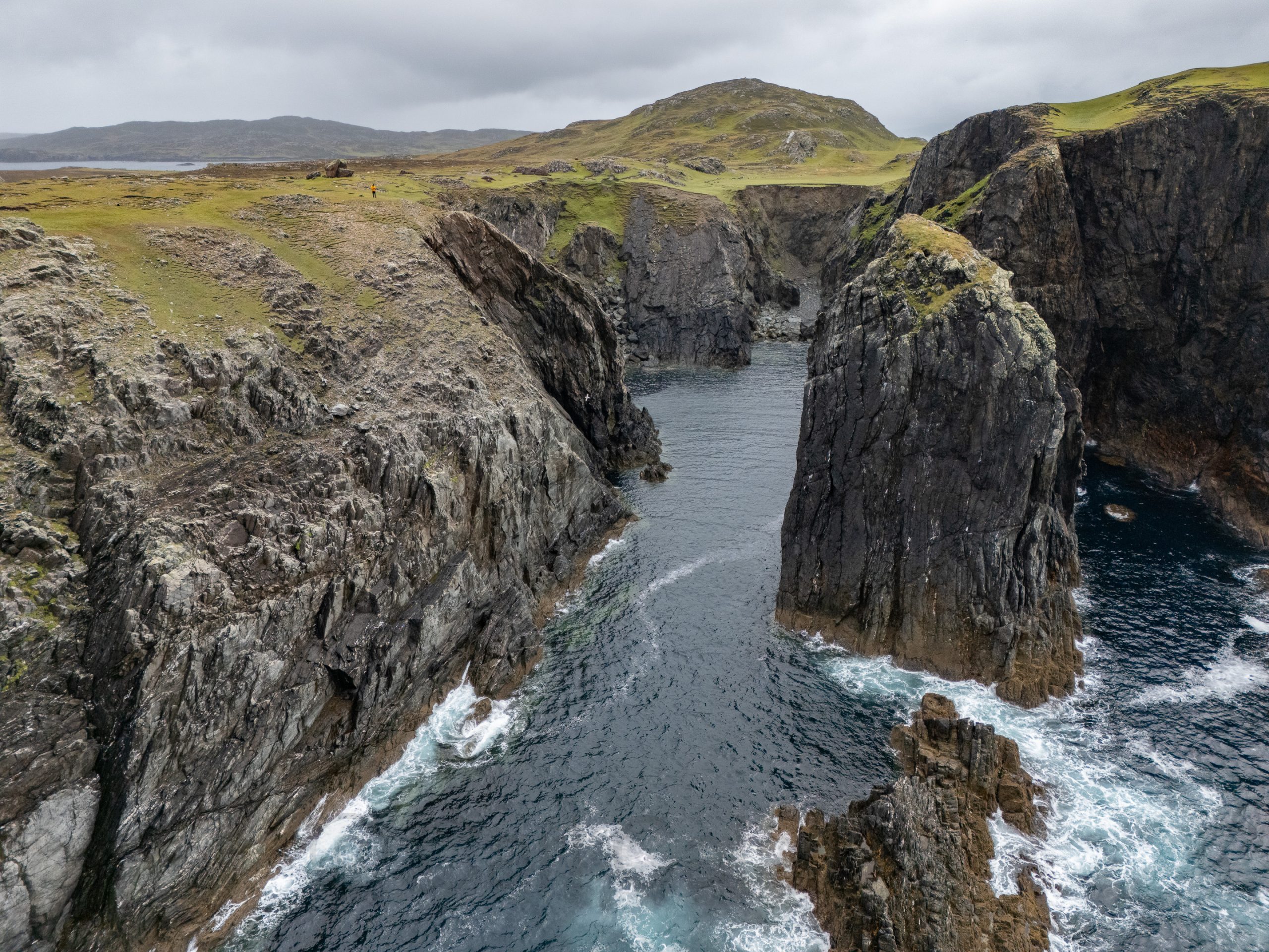
Once on the island, I decided to hike the 5-mile West Quarter Loop. Determined not to miss the last ferry back to the mainland, I set off during torrential rain, hoping it would abate as is often the case in Ireland. Mercifully, the rain stopped an hour into my hike just as the most interesting views appeared. Click on the aerial photo below and see if you can find Waldo. I saw more people in the bathroom at the Cliffs of Moher visitor center than I did on my entire hike on Inishbofin.
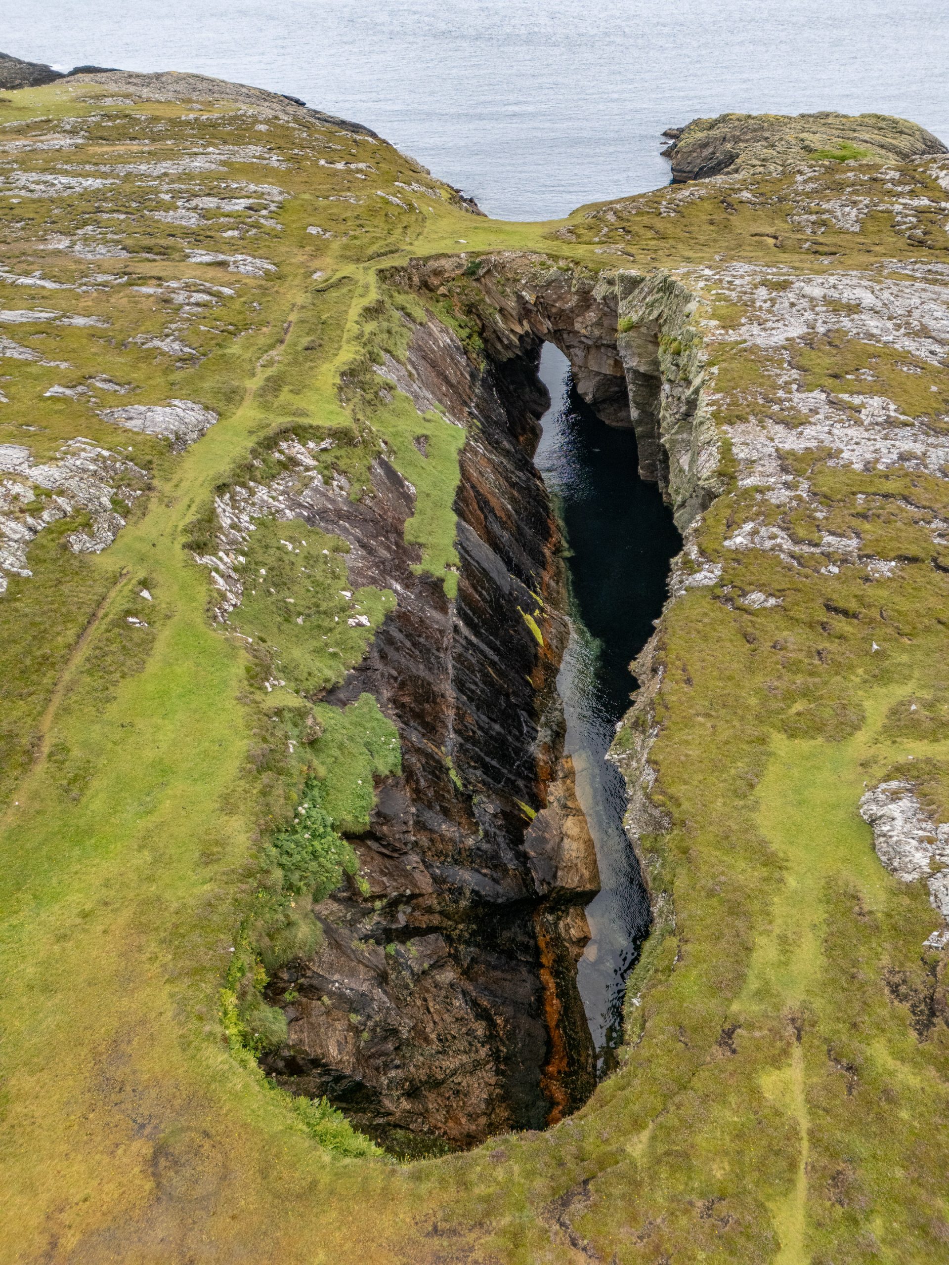
The blow hole on Inishbofin was formed when sea caves eroded landwards and upwards into vertical shafts that opened at the surface, allowing seawater to shoot dramatically into the air during certain tidal conditions. I knew the chances of catching the blow hole in action were minimal and was happy to capture the unique geological formation in a progressive series of drone photos, the last of which is a reverse angle.