Great Basin NP

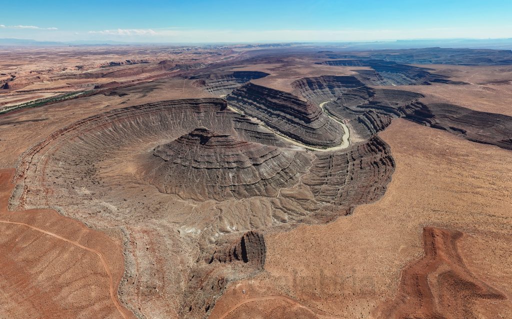
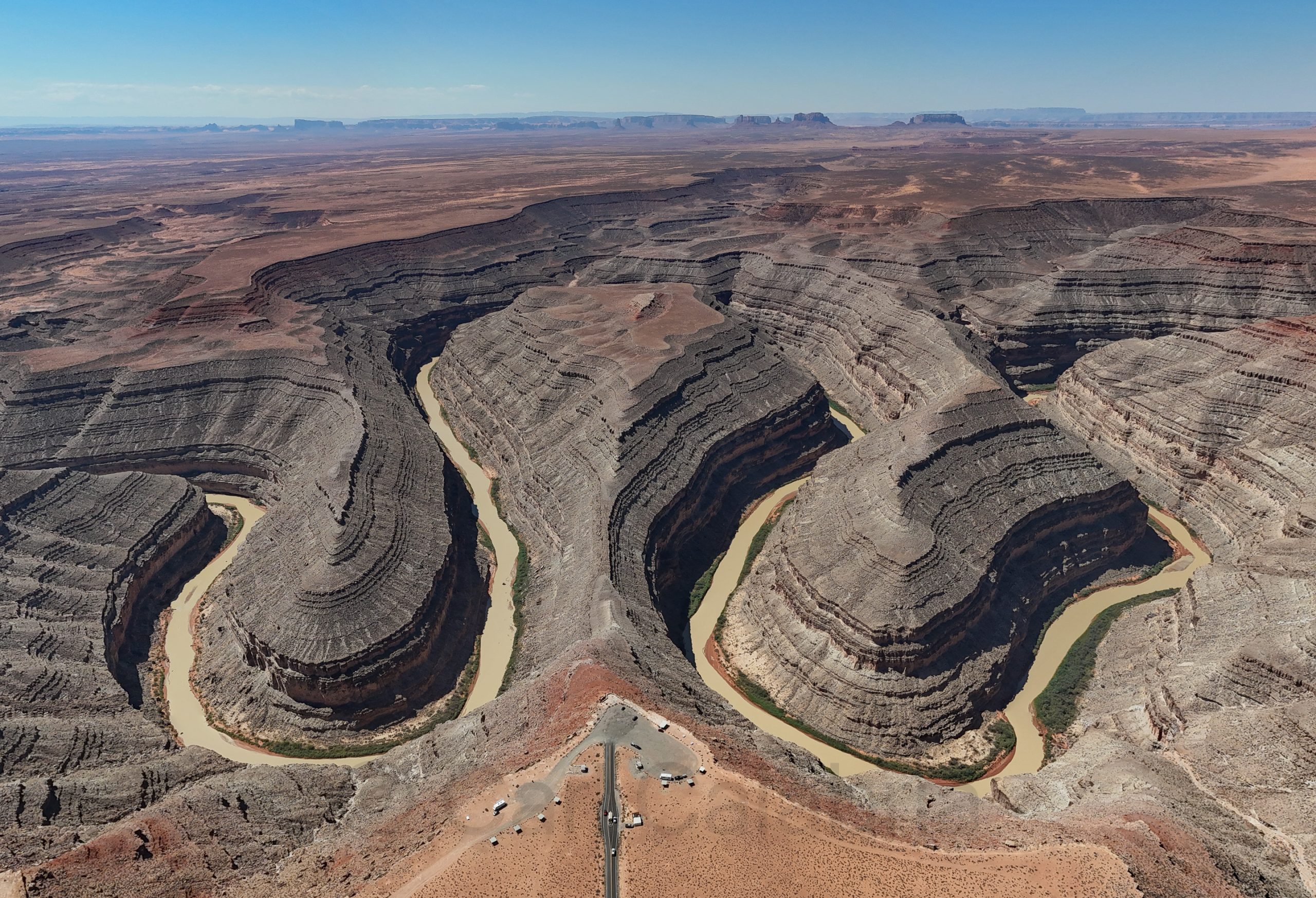
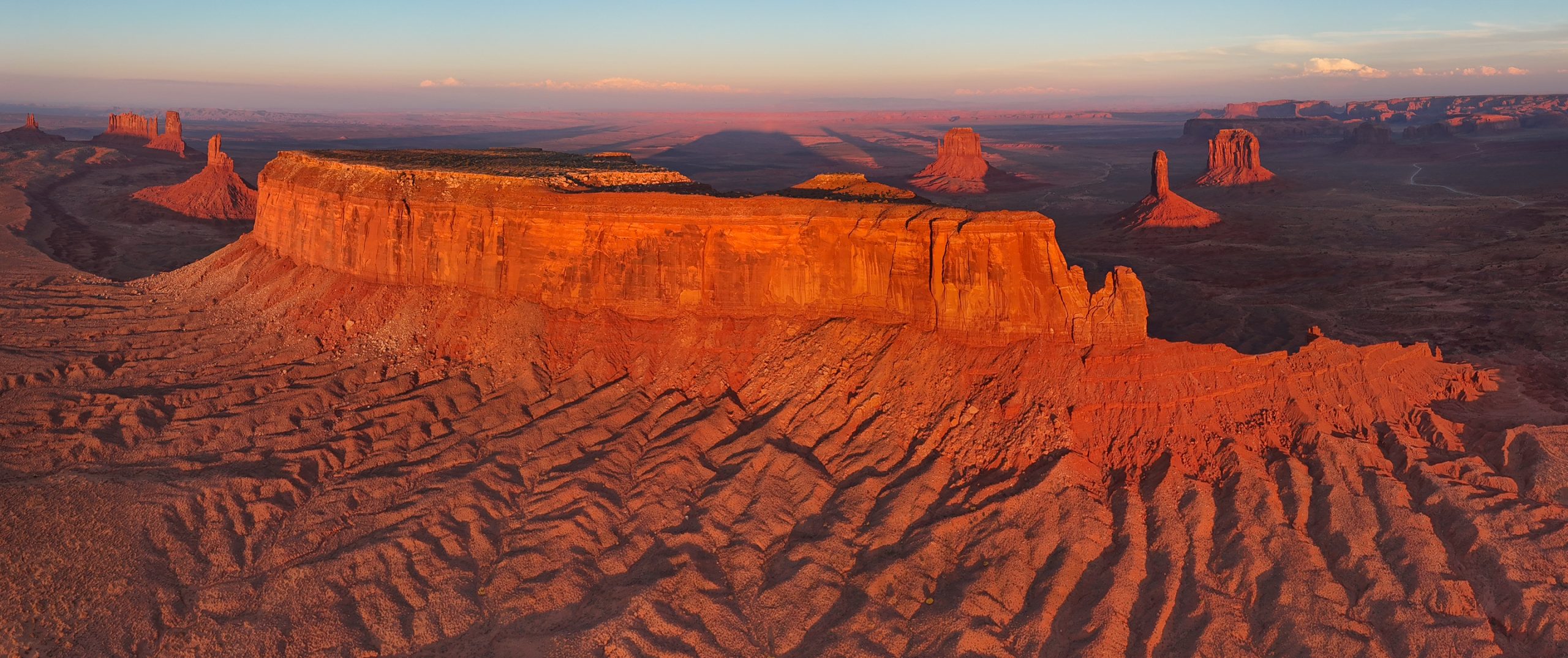
One day, I hope to visit all of the US national parks. Today, I explored my 42nd, the Great Basin NP in Nevada. The park’s iconic feature is 13,063 ft. tall Wheeler Peak, which can be approached by a scenic road designed for those absent a fear of heights. I dared to make only one stop for the photo below. What is not apparent from this perspective is that inches beyond the flowering bushes is a steep drop-off of several hundred feet.

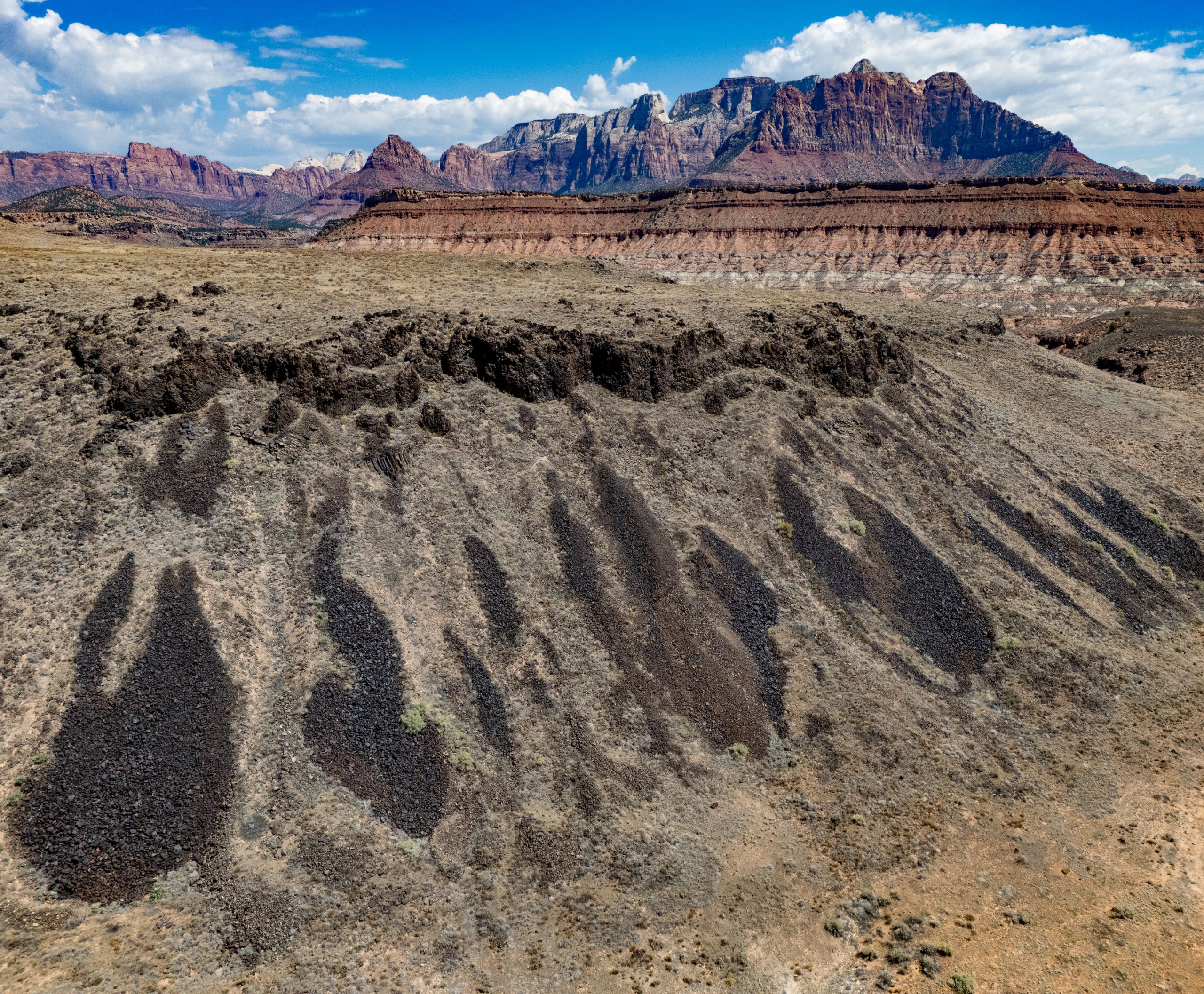
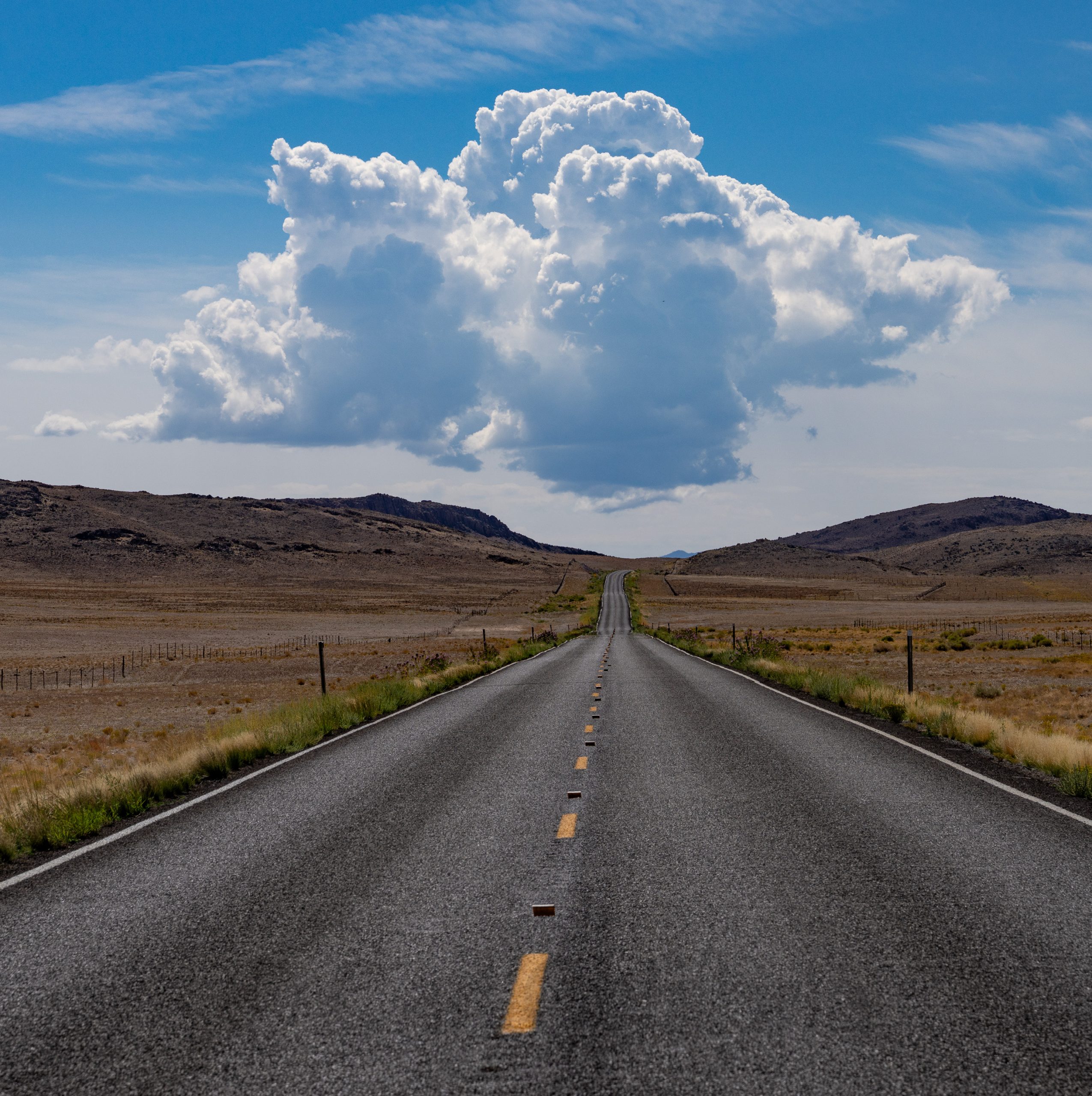
As I drove towards St. George, UT, where I spent the night, I paused to photograph this cloud seemingly poised to rain on my parade. Such was not the case, and I completed my journey with only one near incident. A large pickup truck almost merged into me while I was driving at 80 mph (that is the speed limit here) on the highway. The other driver clearly did not see me and I jumped on the horn which averted an accident. When the truck eventually overtook me, it was hard to miss the huge letters on the side which read SHERIFF and the police officer inside. That was the extent of our encounter as he knew that the near collision had been his fault. Still, it took several minutes before my heart stopped racing.

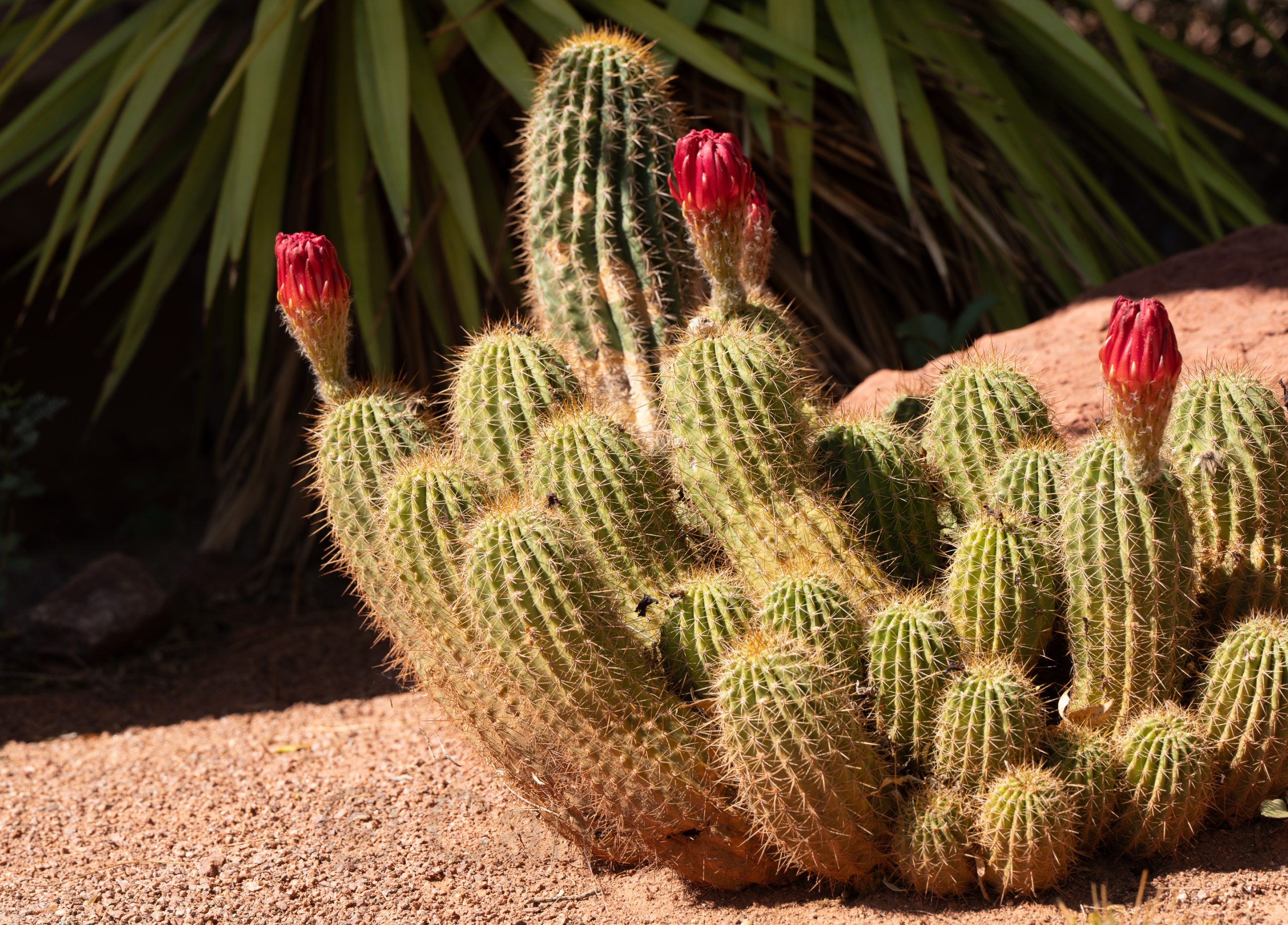
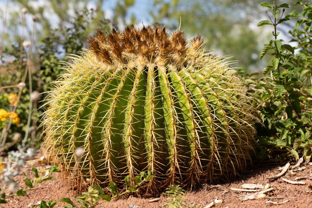
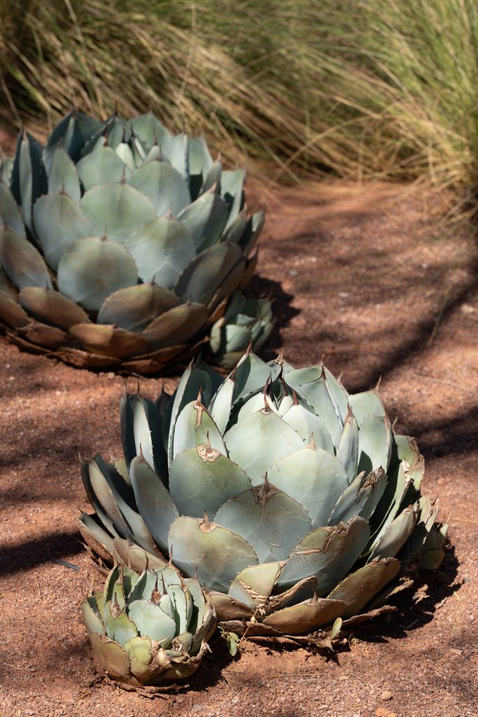
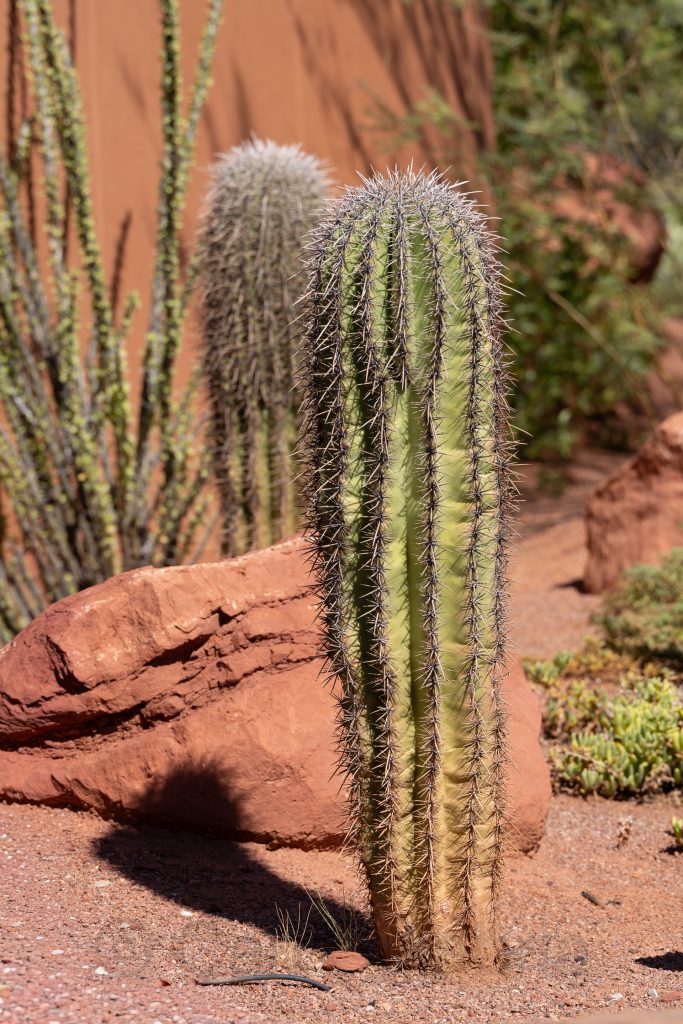
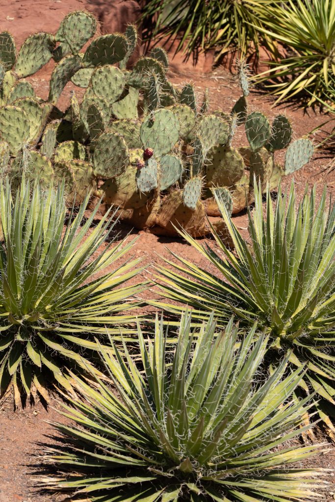
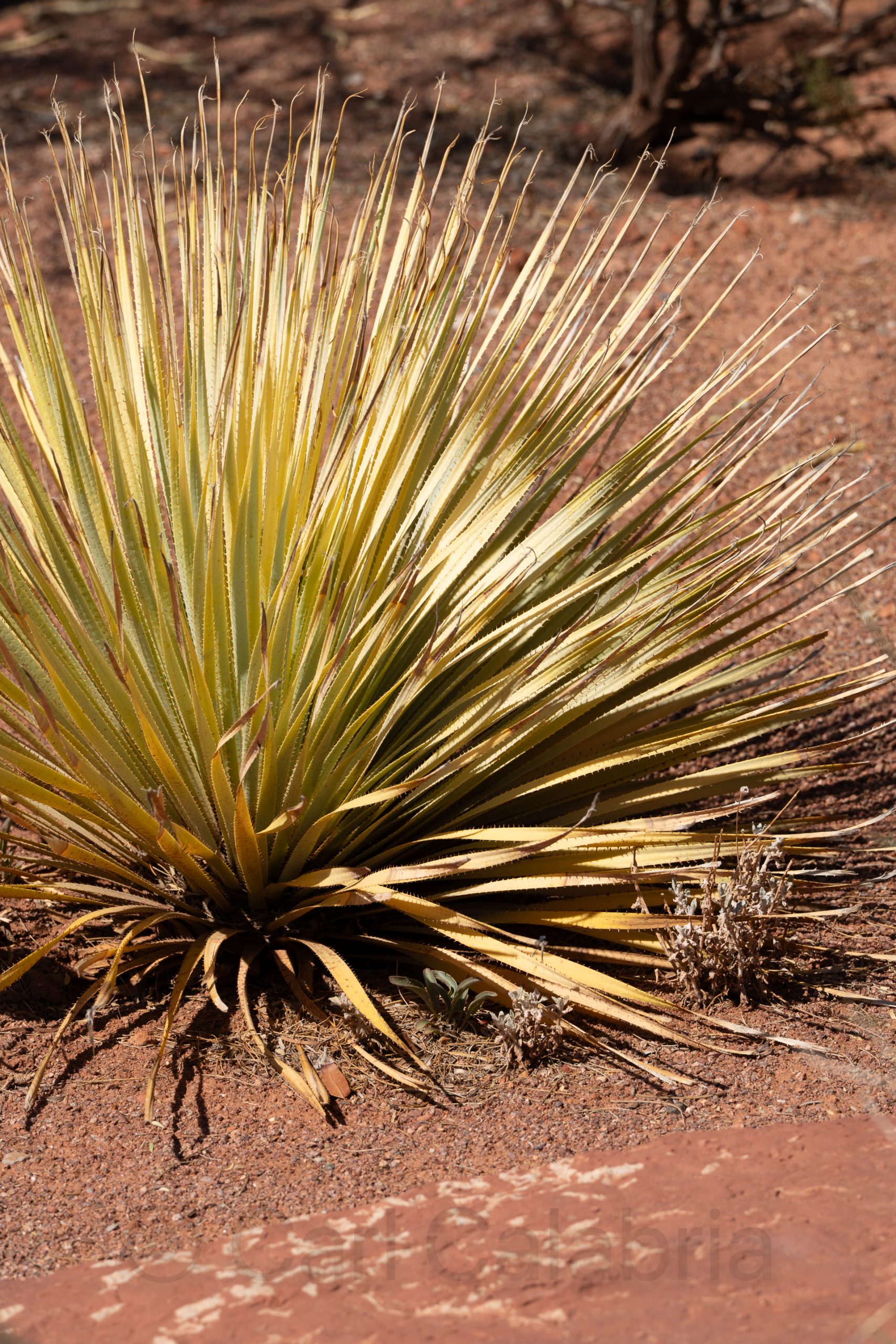
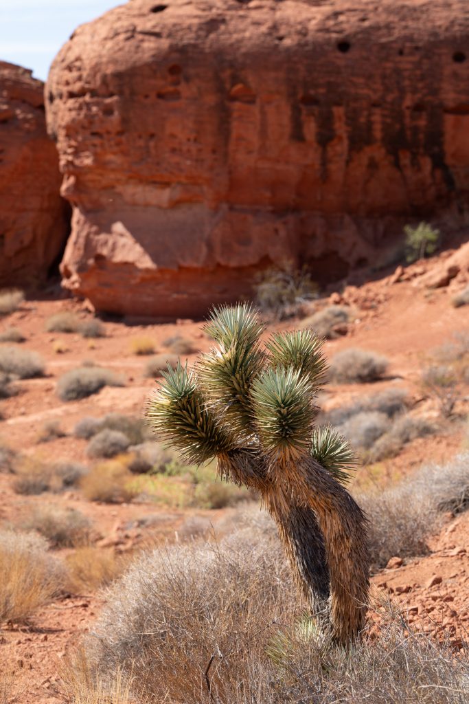
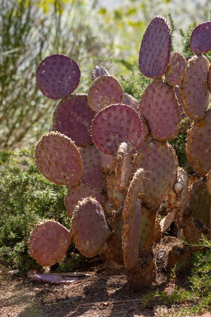
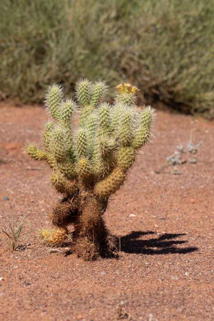
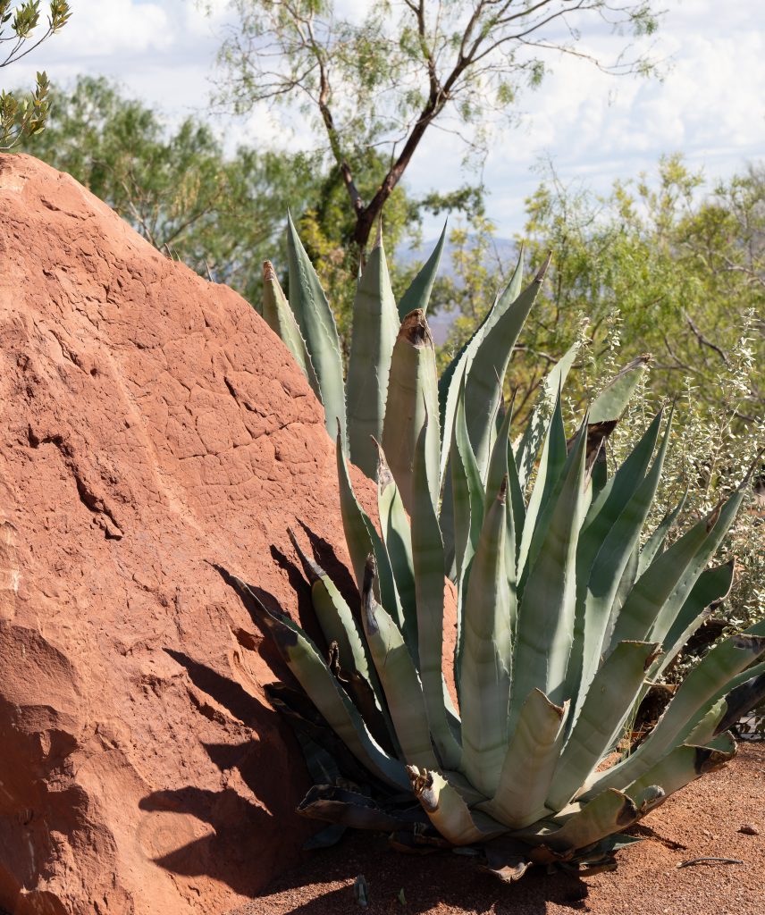
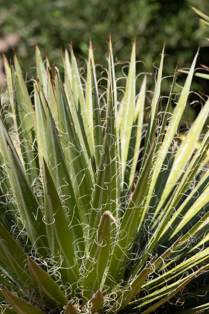
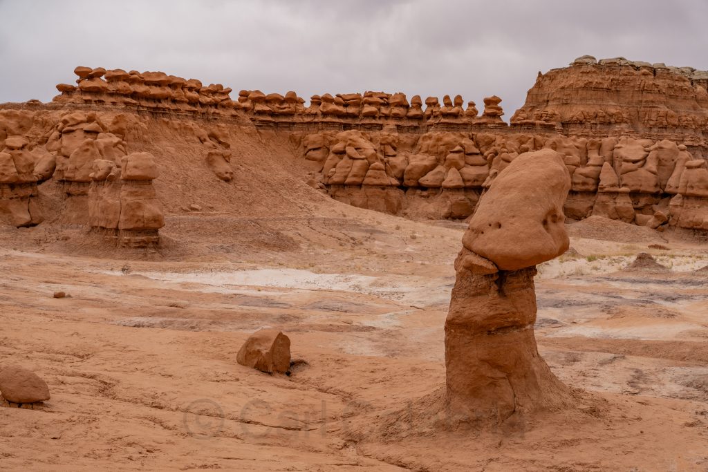
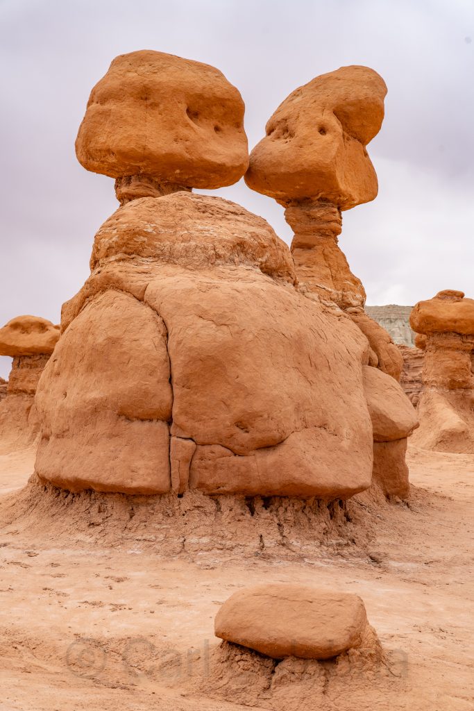
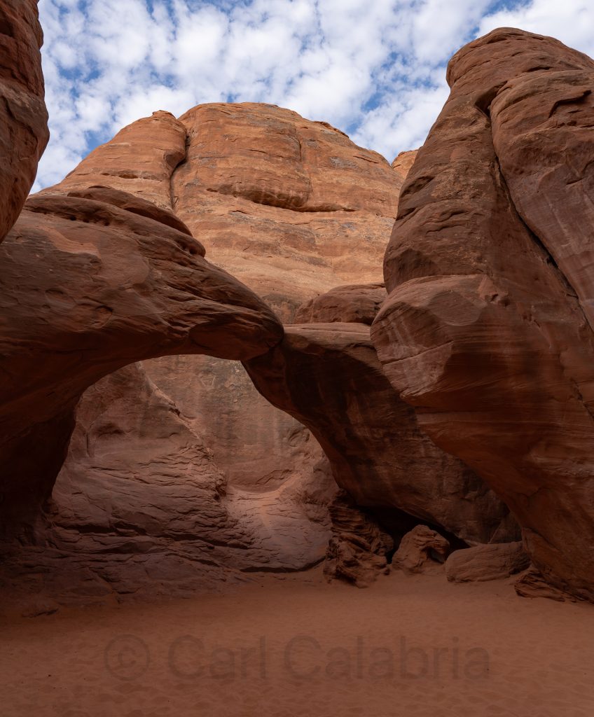
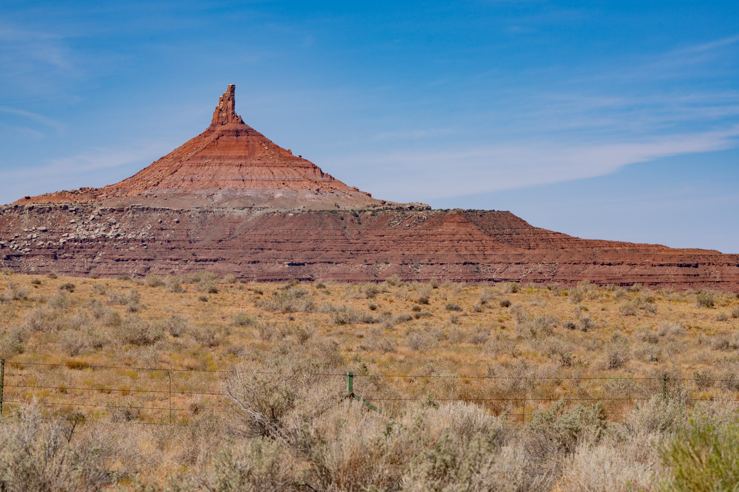
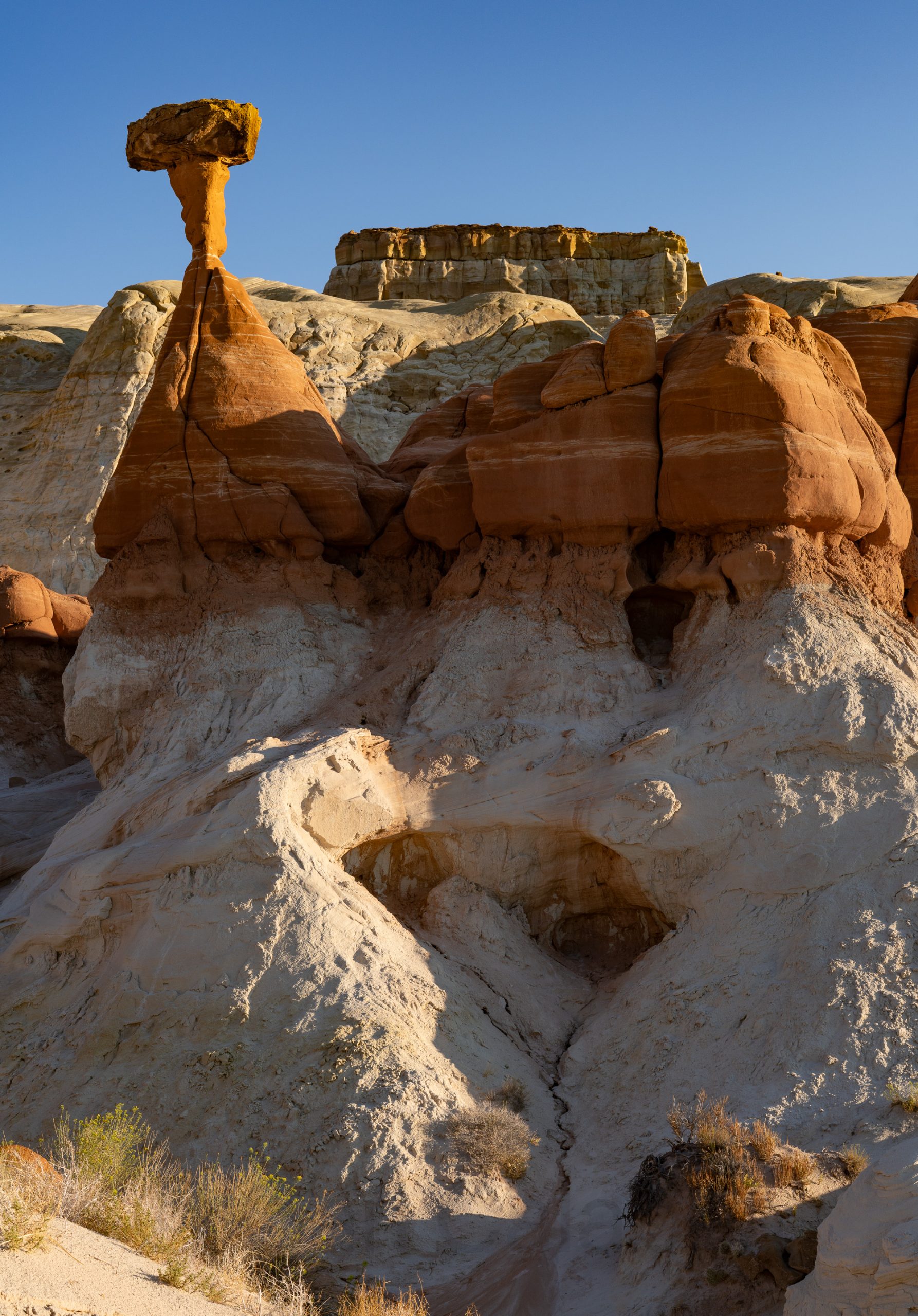
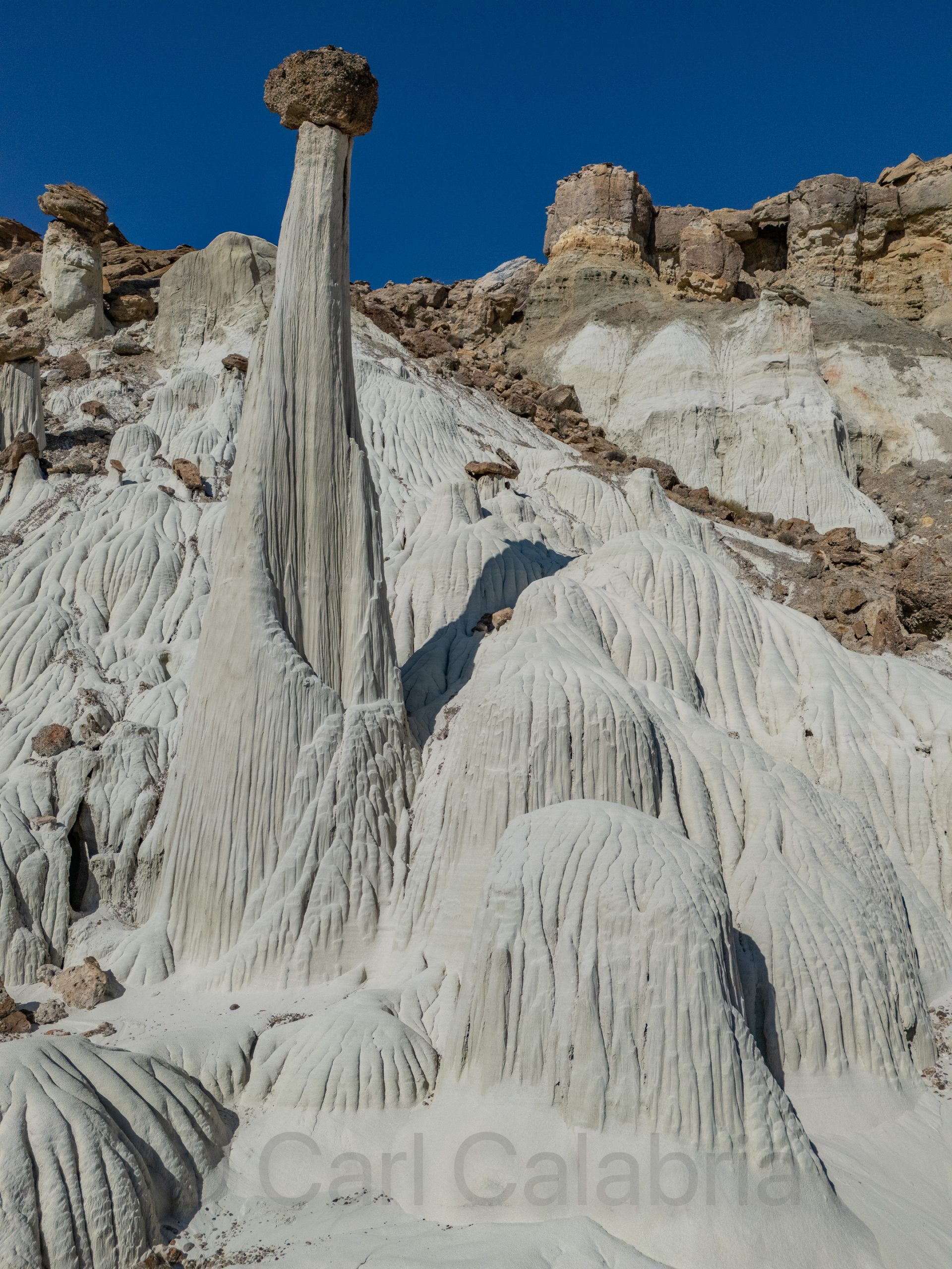
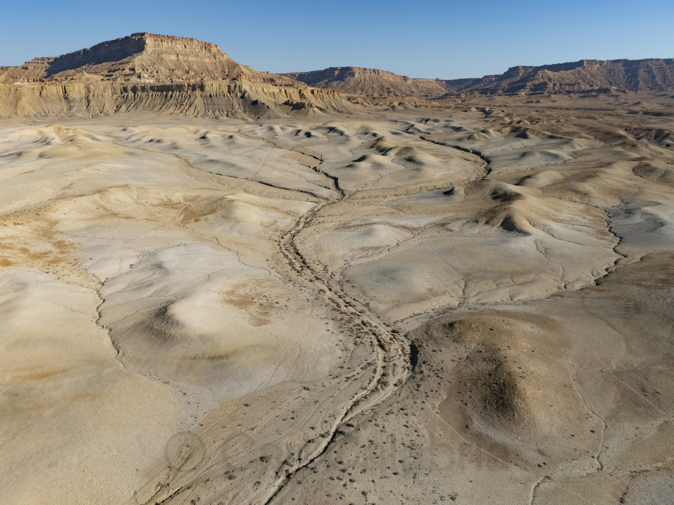
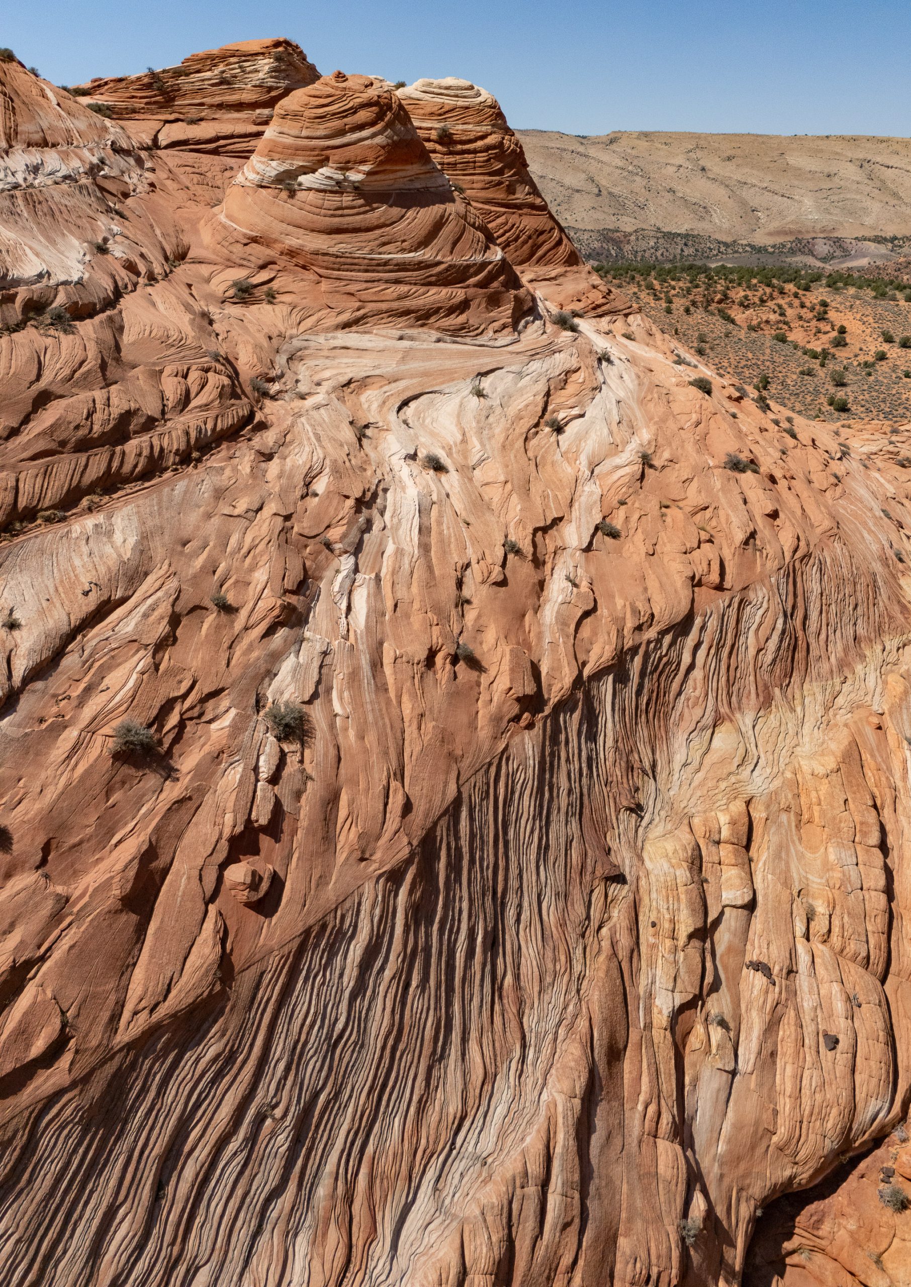
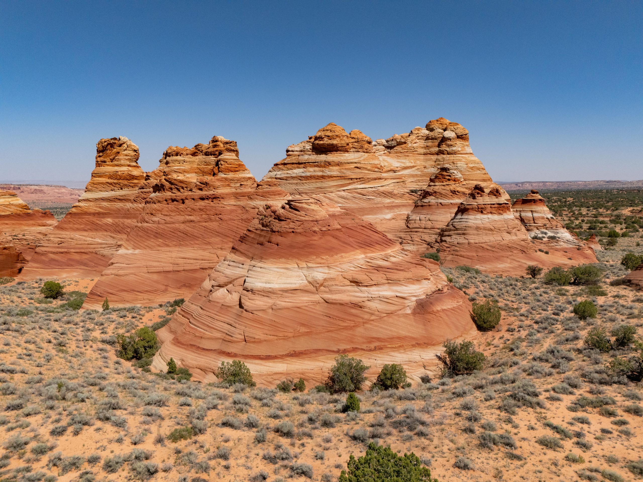
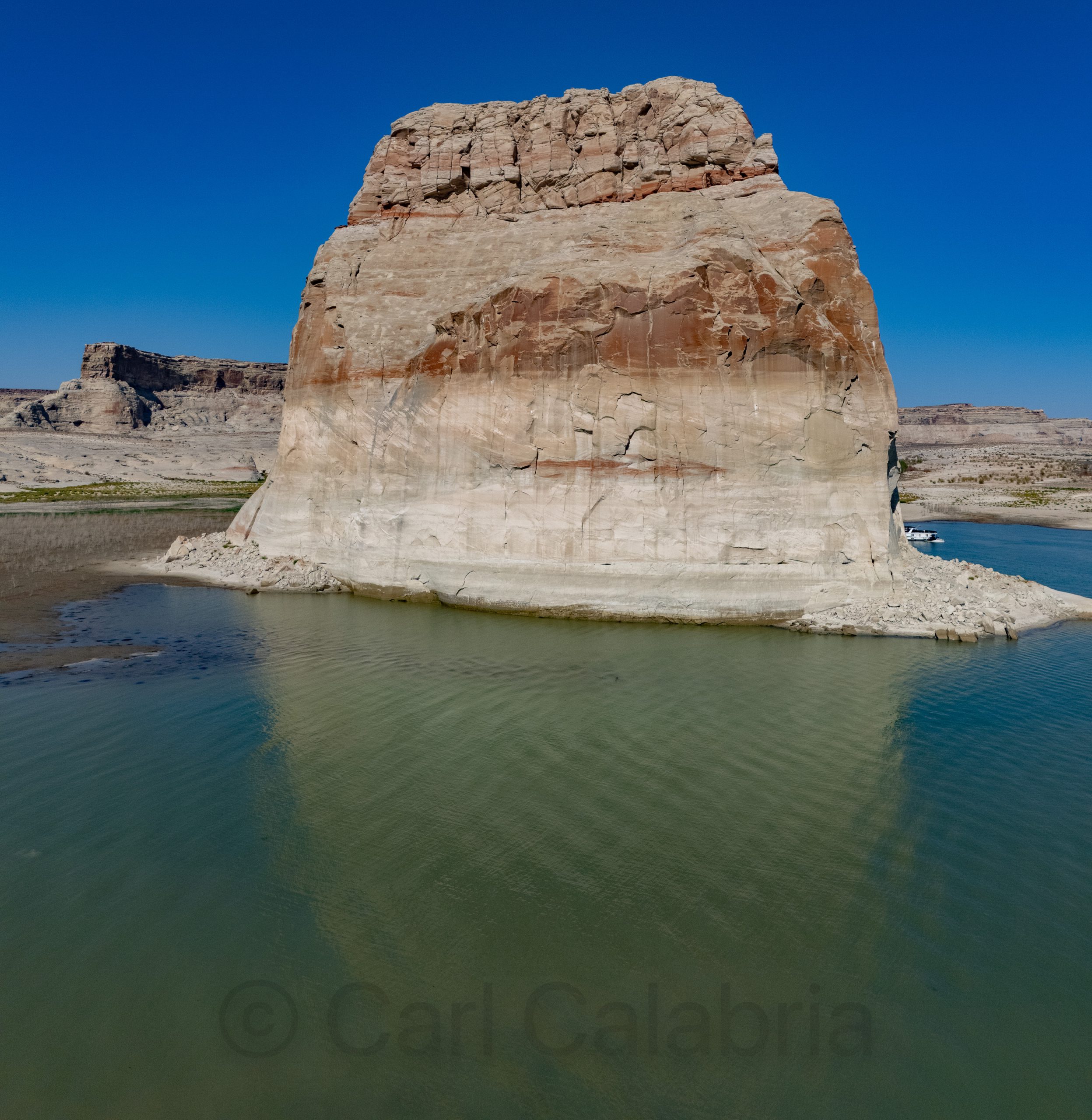
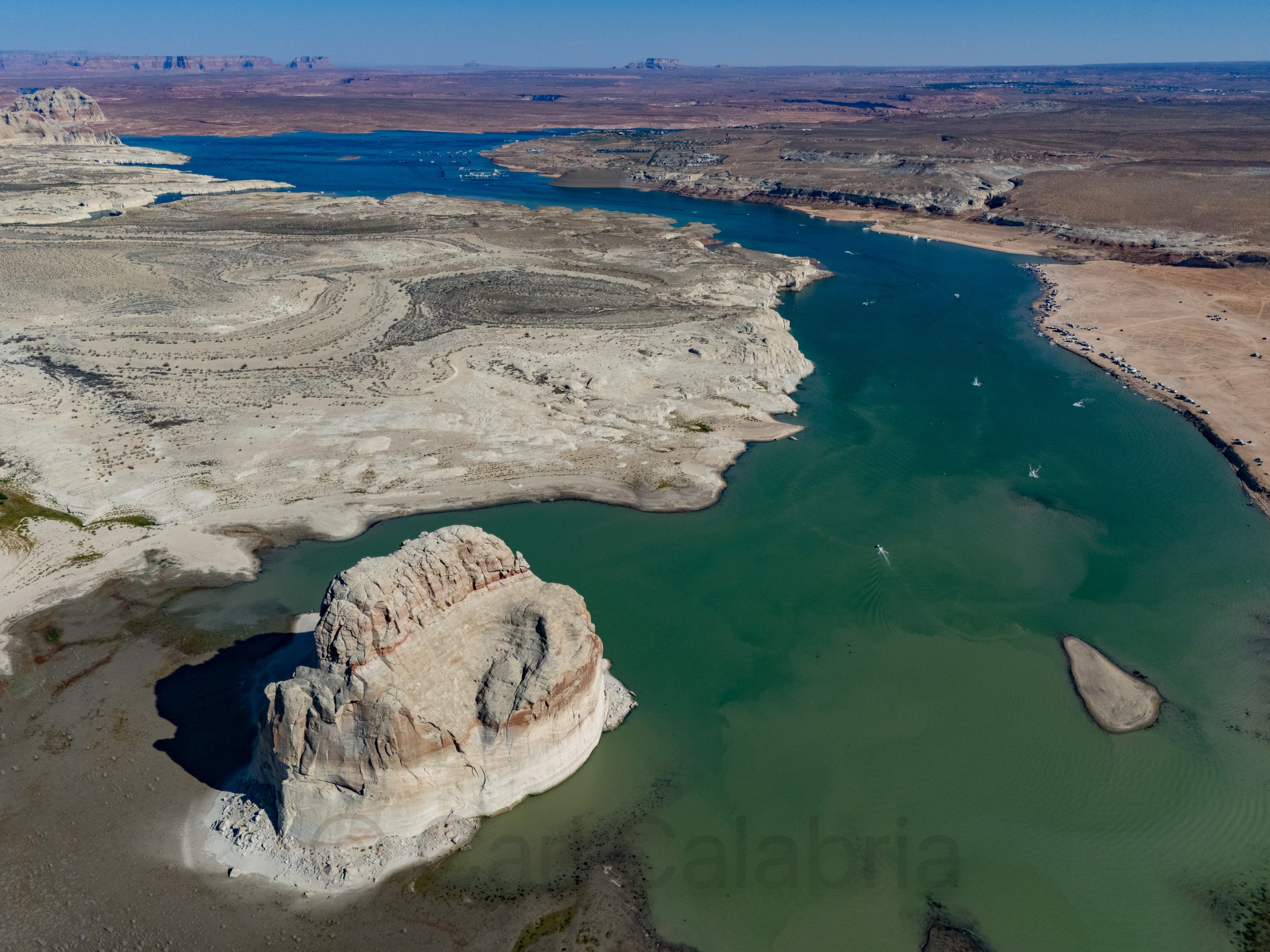
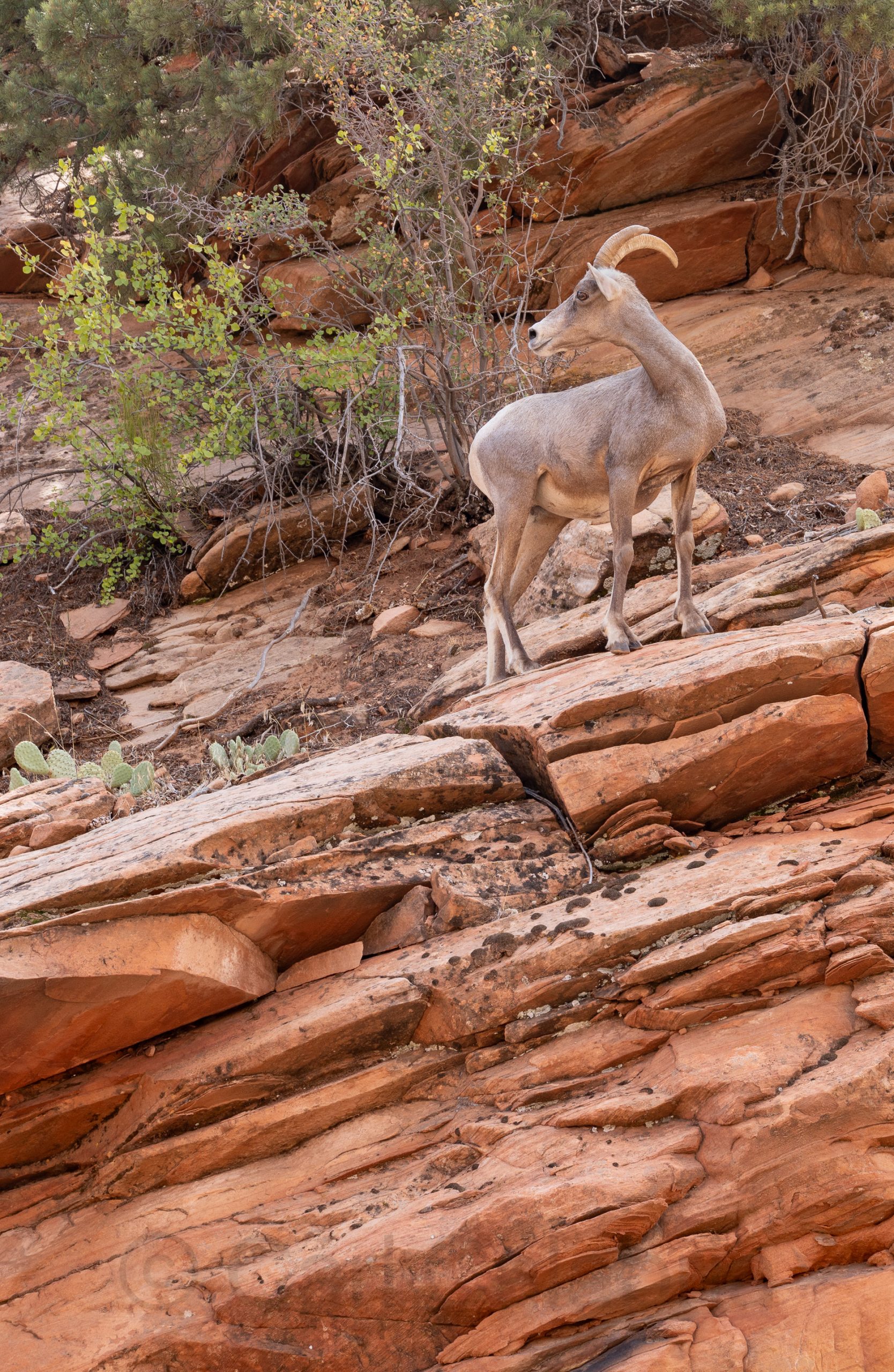
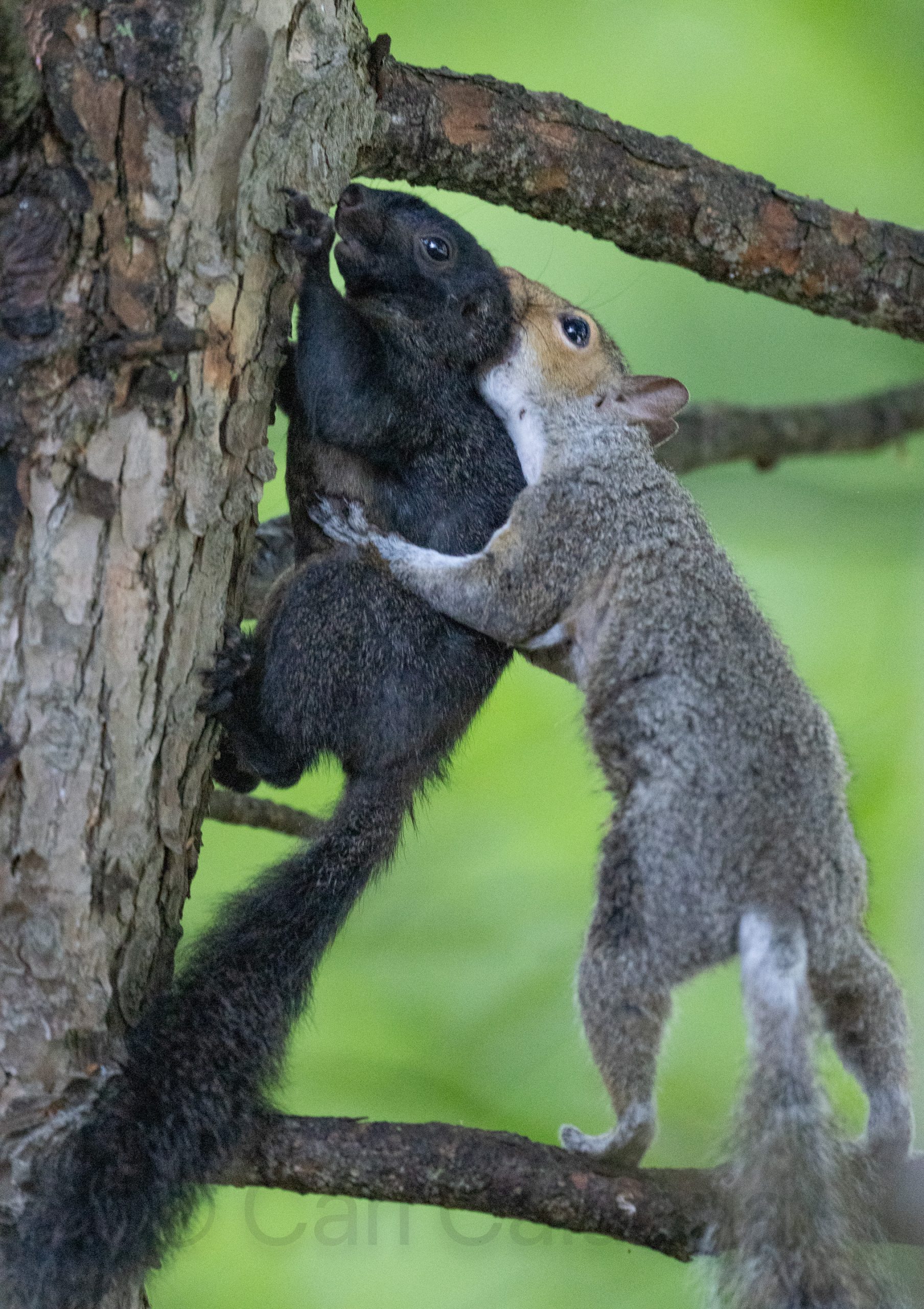
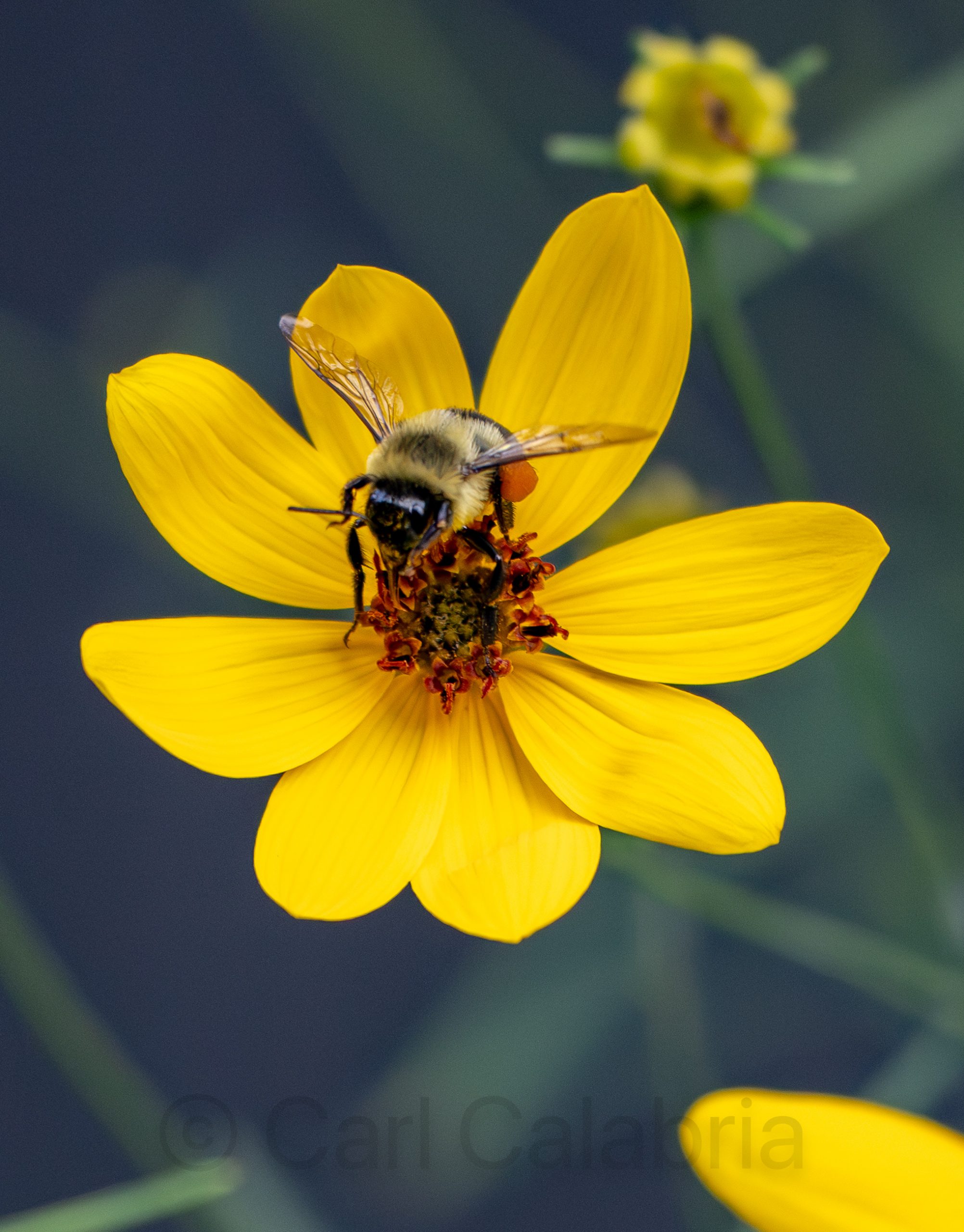
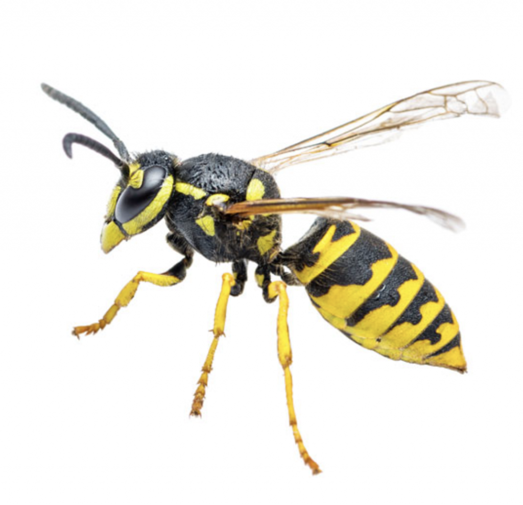
Although the focus of my photography on this trip has been landscapes and rock formations there is much beauty in the fauna as well.

Goblins

Goblin Valley State Park is famous for its thousands of mushroom-shaped sandstone formations aptly named “goblins,” although “aliens” would have been equally descriptive. I was last here in 2009 with the entire family. I can still remember how much fun the kids had in this otherworldly landscape. It was my only stop on a day dedicated primarily to travel and the weather could not have been more cooperative. For the first time since I arrived, the entire sky was cloud filled providing the ideal diffused lighting for photographing in this park. Even better, this is the first park that offered drone permits ($15) and a dedicated take-off/landing pad. Ironically, this is the one park on my tour that is best photographed from the ground.

These goblin formations, known as hoodoos, were created over millions of years as an ancient inland sea left thick layers of Entrada Sandstone, which later hardened and was exposed to air. Erosion from wind and water carved away the softer sandstone beneath harder capstones, resulting in the bizarre, rounded shapes seen today.

During my drive, I traversed the San Rafael Reef, where I stopped briefly for a photo. Early settlers of the area would travel 20 miles north or south rather than attempt to make the treacherous crossing. In the mid-1960s, an ambitious construction project started to allow for I-70 to pass through the reef.

Arches

Before I inundate followers with a slew of arches, I thought I would start this post with a spot of color. Potash is a group of water-soluble salts containing potassium, most commonly potassium chloride, and is used mainly as a fertilizer for plants. Historically, potash was produced by leaching wood ashes in large pots, but today it is manufactured by mining potassium-rich minerals from ancient evaporite deposits and processing them to remove impurities. A bright blue dye is added to potash evaporation ponds during potash mining to absorb more sunlight and heat, which speeds up water evaporation and helps the potash crystallize more quickly. The striking blue is especially visible during peak evaporation but may shift to lighter blue, tan, or brown as more water evaporates and potash forms. When I noticed these pools while looking at a satellite view in Google Maps, I knew it was a must photograph destination despite requiring a few miles of very rugged 4×4 “road” travel.

The balance of my day was primarily centered on photographing arches I had never visited before both inside Arches National Park and outside.

Sand Dune Arch

Broken Arch

Jug Handle Arch

Corona Arch

Bowtie Arch

A permit and mandatory training are needed to hike through the Arches Fiery Furnace because the area is a challenging maze-like labyrinth with no established trails and high walls that block GPS signals, making it easy to get lost and requiring careful navigation. The aerial view tells the whole story and reveals the overall structure which can not be observed from the ground.

I could not resist making a panorama centered on the Three Gossips even though I have photographed this scene many times before.

When temperatures hit their midday peak, I started seeing things in the rocks. Tell me if you do not think the photo below looks like the head of a dog.

I half expected to see a giant come over the top of this peak when I saw its massive hand grabbing the ledge.

Below, a smaller hand is preventing this precariously perched boulder from falling over.

As the sun started to set, I drove to Dead Horse Point State Park to capture the magic and was not disappointed.

Mexican Hat to Moab

I have been to Canyonland National Park several times, but never to the Needles section. It was my first stop en route to Moab, where I will be spending the next two nights. The needles (top edge of the photo above) are magnificent, but just as exciting are what I am calling the “mushrooms” which appear below them.

Temperatures have been in the 90s every day since I arrived. Imagine my relief when I encountered this natural rock formation while hiking. It provided shade, seating, and a side table for my backpack.

NOTE TO JEANINE: I think we have to visit the stone yard again.

I found plenty of reasons to pull over for photographs as I continued towards Moab.

Page to Mexican Hat

Mexican Hat is a small town in southern Utah named after a distinctive rock formation that resembles an upside-down sombrero perched high above the adjacent San Juan River. With a population of ~100 it is not exactly a marquee destination. It does, however, make an ideal home base for visiting Monument Valley, Gooseneck State Park, and Valley of the Gods, all on the itinerary for today.

Pictured below is a location that I scouted using Google Maps satellite view. I suspect that the San Juan River once circled/created this butte before it found a shortcut.

Gooseneck State Park

Valley of the Gods is a scenic backcountry area featuring dramatic sandstone buttes, pinnacles, and mesas reminiscent of Monument Valley. It can be traversed via a stunning 17-mile unpaved drive through vast open terrain with unique rock formations. The aptly named “Lady in the Bath Tub” is one of the more whimsical. The rugged road is likely the reason few people visit here. This is my second time and I only encountered a dozen other people on each occasion.

The last time I was in Monument Valley, I lost my drone when attempting the photo below. Since then, I have gained much experience as a pilot, and I have a newer model with better obstacle avoidance and greater radio range. I was extremely nervous on this flight, but equally euphoric as I knew I had timed the light perfectly.

Midday light, on the other hand, is pretty mundane, so I tried to add a different kind of interest to my photos. It took about 20 attempts to perfectly time my jump to the ten-second shutter delay.

When the sun started setting, I was in business again. I took the photo below about 20 minutes before golden light to give myself time to drive outside the park and far enough away to get a comprehensive view.

Kanab to Page

Millions of years in the making, hoodoos never fail to capture my fascination and photographic interest. Their formation process begins with flat-lying sedimentary rocks deposited in ancient lakes or floodplains, later elevated by tectonic forces, and finally sculpted by frost wedging and acidic rain that erodes softer layers beneath harder caprock. The caprock protects the weaker underlying rock, creating the hoodoo’s columnar shape, which persists until erosion eventually topples the cap and destroys the spire. Today, I revisited several of my favorites, the Toadstools and the White Ghost. The former are easily accessible from the highway and can be reached via a relatively short hike. The latter, not so much. On my first visit to the White Ghost, I opted for the southern approach, which requires an 8-mile hike. This time, I opted for the northern approach, which only requires a 2-mile hike. What is the “catch,” you might wonder?  The shorter hike requires a 20-mile round trip on “unimproved roads.” For the most part, these are just very bumpy dirt roads. The problem is with the other parts. There are about a dozen places where the road crosses a river wash. Each one offers a unique way to strand your vehicle in a place where a new vehicle would cost less than the tow truck fee. Let’s just say that I will opt for the longer hike on any future visits. On a positive note, I did encounter some very beautiful landscapes along the way.

Unsuccessful at winning the 1000:1 daily lottery for a pass to The Wave, I opted to use my drone to look for equally impressive rock formations. I found several, my favorite being the one below, which I call “Melting Ice Cream.”

I also made a long flight to capture the aptly named North Teepees.

Lone Rock is a prominent and solitary rock formation located in Wahweap Bay within Lake Powell.

I caught the last light of the day at the Glen Canyon Dam before heading into Page, AZ for the night.

St. George to Kanab

As soon as the sun was up, I made a beeline for St. George, UT where my first stop was Pioneer Park. I had hoped to photograph the St. George Narrows located there, but a group of teenagers was climbing on belay, and it did not look like they would be finishing anytime soon. Instead, I found a beautiful little arch to start the day off on a good note. I made my way north to the Snow Canyon State Park, which had a lovely valley view overlook.

Next, I had planned to photograph the Toquerville Falls, hoping that the all-wheel-drive, high-ground-clearance SUV that I rented would be up to the challenge. One mile into the five-mile final ascent, I had to abandon the effort, because I was not up to the challenge. Jeanine will attest to the fact that I have tackled some very insane roads. This one was just too treacherous and I could just imagine stranding my rental on the side of a mountain and ruining the rest of my trip.

Instead, I decided to drive through Zion National Park on my way to Kanab. Fortunately, traffic was light and I could stop often to soak in the magnificence.

As the sun was setting, I made a final stop at the Coral Pink Sand Dunes State Park. The light was exceptional, and the dunes looked like waves of water. A perfect way to finish day one of my road trip.

I found a very cute cabin in Kanab and hitched my trusty steed to the post.

Friend or Foe

Despite what you might imagine is happening in this photo, these squirrels were neither fighting nor engaged in foreplay. They were, in fact, grooming each other. I never realized squirrels did this, but if you think about it, it makes perfect sense. They run up and down sap-covered trees all day when they are not digging in the dirt.

This morning, I decided I would take a week-long trip to canyon country (Utah, Arizona, Nevada) while Jeanine is in Greece. I booked a flight, car, and first night’s stay in the morning, completed a rough itinerary and packed by early afternoon, and was on a plane headed west before dinner. I made a similar weekend-long trip in May, 2019 when Jeanine was bicycling in France with my cousins. On that adventure, I lost my drone on the second morning and missed out on all the aerial photos I had hoped to take. Hopefully, I will not repeat that debacle.

Anytime I discover a photographically interesting destination, I save it in Google Maps. I have been doing this for years. Pictured below is the rough area I will be visiting. As you can see, it is a target-rich environment. I will only have time to see a fraction of these locations and will choose based on how much ground (in the car and on foot) that I can cover, as well as weather conditions.

Friendly Hymenoptera

Concerned after yesterday’s post, that some might consider me hostile to all Hymenoptera, I decided to create a loving portrait of this member of the Apidae family. When I approached very closely to take the photo, it did not summon a swarm of its buddies to mount an attack, it did not chase me for hundreds of feet, and it did not bite and sting me repeatedly, as did the members of the Vespidae family I encountered yesterday. In short, this bee was very friendly, and I was pleased that we could peacefully coexist in the same space.

The moral of the story: Live and Let Live. An alternative interpretation: Don’t attack me for walking too close to your nest, and I won’t fill it with a flammable accelerant.

Athens Bound

I dropped Jeanine off at the airport this afternoon. She is headed to Greece, where she will spend 4 days in Athens before taking the ferry to Aegina. There she will be staying with her friend Maile at a vacation home in Perdika through the first week of September.

The southern yellowjacket (Vespula squamosa) is known for its notably aggressive behavior, especially when its nest is disturbed or threatened, and it can coordinate group attacks using alarm pheromones released by individuals in the colony. This species is recognized as having a “shorter fuse” than other yellowjacket types, often attacking more quickly and aggressively, particularly in late summer and fall when food scarcity and high colony populations amplify their defensiveness. Even a minor disturbance near their underground nest can provoke a swarm response, with multiple individuals joining in defense and stinging repeatedly without losing their stingers.

While spreading the last of the wood chips, I managed to disturb such a population of yellowjackets and suddenly found myself under attack. I set a new personal best speed record while retreating and simultaneously swatting at the marauders that were already on me. Fortunately, I only sustained four stings, but they are quite painful. After licking my wounds, I returned to the nest with a pint of gasoline, which I poured into their underground burrow. Admittedly, it was more an act of retribution than remediation, but I felt quite pleased with my counter offensive and justified it as necessary to protect neighbors who might be attacked while walking a dog who stumbled upon the nest.

I have decided not to risk further confrontation with the yellowjackets, and I am done spreading wood chips for the season. The remaining 1/2 ton will be left in a small pile for future use.

Gifted Tomato

While on an evening walk with Jeanine, we encountered a neighbor coming from the community garden. She was thrilled to show us the basket of tomatoes she had just picked from her plot. About the size of a softball, the tomato pictured above was her gift to us and will be in my belly as soon as I complete typing this post.

I made another big dent in the last remaining wood chip pile and estimate that 1 ton of the original 21 remains to be spread. I am very much looking forward to a change of pace to my landscaping workout.

Skewered

While driving down the highway this afternoon, a large push broom came flying off a truck traveling well ahead of me. It hit a car in front of me and broke in half. The severed handle flew into my lane and skewered the front of my car. Picture above is what I discovered when I reached home. I still need to do further investigation but my initial assessment is that no major damage was sustained. A few inches in any direction could have led to a completely different story. For the record, all parties were traveling at an approriate speed with reasonable following distance. Even so, there was ZERO time to react and the only thing to be done was to brace for impact.

Preseason Tune Up

My soccer team played a preseason match this morning against a team from the age division below us. We traditionally begin our season with such a competition to help us prepare for the challenges ahead. Despite having a limited number of substitutes, we managed a 0-0 tie, which felt like a win against our younger opponents. I played a total of 60 minutes and needed a nap three times as long to recover. Even so, I felt like I was in reasonably good shape, which I attribute to my daily wood chip workouts (see prior posts on the topic).

Later in the day, I completed the wireless switching upgrade to my window washing deionizer and finished cleaning the windows on the front side of the house. I am delighted with the performance and ease of use, and will look forward to this bi-annual task in the years to come.

As the sun was setting, I decided to get a drone shot of the property showing the exposed shoreline, the result of the lower river level we are now experiencing. Jeanine has encouraged me to find a way to carry our kayaks down our steep embankment so that we can access the river directly from our property rather than relying on the use of our gracious neighbors’ launching area. I have an idea in mind. Stay tuned for updates.

The Boston Common

With this being the last weekend before Jeanine heads off to vacation in Greece, we drove into Boston to spend the afternoon on the Common and at the Downtown Crossing. At the former, the Marine Corps had several aircraft on display as part of their 250th anniversary celebration. Photos do not convey the scale of these machines. They are enormous and insanely impressive, especially the tilt-rotor vertical take-off Osprey.

Although it was installed almost three years ago, this was my first opportunity to see The Embrace, a bronze sculpture by Hank Willis Thomas, commemorating Martin Luther King Jr. and Coretta Scott King. It depicts four intertwined arms, representing the hug they shared after he was awarded the Nobel Peace Prize in 1964. The work was created by welding together about 609 smaller pieces.

Later, we walked over to Downtown Crossing, where we attended two musical performances as part of the We Make Noise Festival, which showcases women and gender-expansive artists.

We enjoyed more music when we returned to Concord and a truly unique outdoor venue called the Back Forty. All in all, a very fun day.

This website is dedicated to sharing, with family and friends, the day-to-day adventures of the Calabria family.